In Koyra number 6, a coastal hamlet bordering the Sundarbans in southwestern Bangladesh, a group of men unload barrels of water from their trawlers—50 drums holding 30 liters each. They announce their arrival by yelling. And word spreads. This is how this village gets their daily drink of water, from a town 15 kilometers (approx. 9 miles) away.
Koyra number 6 was christened so by the British. The land was formed by destroying some of the Sundarbans, the largest mangrove forest in the world. The newly formed villages were numbered for governing ease.
In 2009, Cyclone Aila, the worst cyclone to hit Bangladesh since Cyclone Sidr in 2007, changed something in the nature of Koyra number 6. All of its fresh water turned saline.
"Bangladesh has been susceptible to cyclonic storms for centuries. Due to climate change however, these cyclones have gotten more intense because they are dependent on the temperature of the sea," said Dr. Saleemul Huq, Director of the International Centre for Climate Change and Development, Bangladesh.
"When I was younger, there was a common pond from which all of us drew our drinking water," said Harindranath Sarkar, an elderly member of Koyra number 6's Union Parishad or local governing body. "Now each family buys a daily quota of fresh water at 20 taka ($0.25) for a 6 liter container. Families of five use this purchased water to cook and drink. Sometimes the water is sold on credit," he said.
Water scarcity varies by season. In the monsoon, villagers tie large polythene sheets to four poles and allow them to collect rain water. They also collect rain water that drains from corrugated sheets on their roofs.
"We have no other choice, and this is how we're coping," another man named Assadul Huq said to Sarkar.
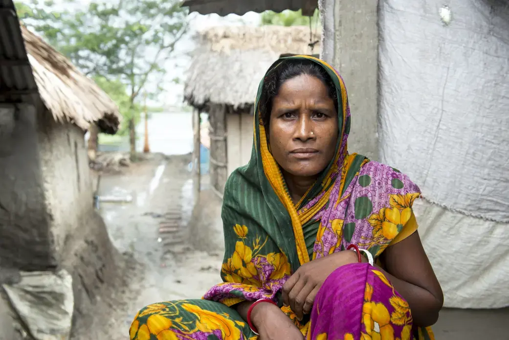
But for some, fresh water remains a luxury. "It costs 20 taka a day. I cannot afford it," said Kukumoni Munda, a mother of two and wife of a night watchman. She walks more than half a mile each day to fetch saline water from a pond. On days that she is sick, her 9-year-old daughter does the fetching. The salary of a night watchman is estimated at about 1500 taka (approx. $19) a month, often requiring nearly a whole day's work.
Drinking water highly concentrated with salt leads to hypertension and pre-eclampsia in the pregnant women of the region. Studies have also found the groundwater in these parts to be contaminated with arsenic, a known carcinogen.
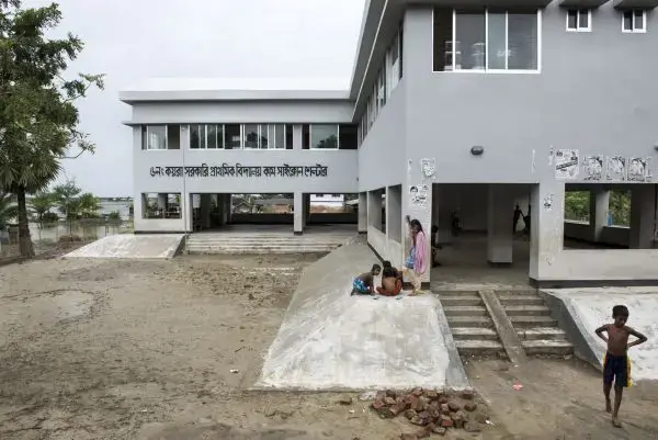
Initiatives taken to remedy the situation have unfortunately not been sustainable. "Right after Aila there were several programs to help the affected people. Now they aren't paying [the villagers] any attention," said Gouranga Nandy, a journalist from Khulna city, talking about government and NGO policies. "For example, the embankment around Choto Jaliakhali village developed a narrow crack of about 10 feet during Aila. Within three months it grew to almost 2000 feet and inundated the village. More than 80 families lost their property and land. The victims created temporary shelters on the road and some continue to live in them today. Although there were immediate relief efforts post Aila, there hasn't been any support given towards permanent settlement," said Nandy.
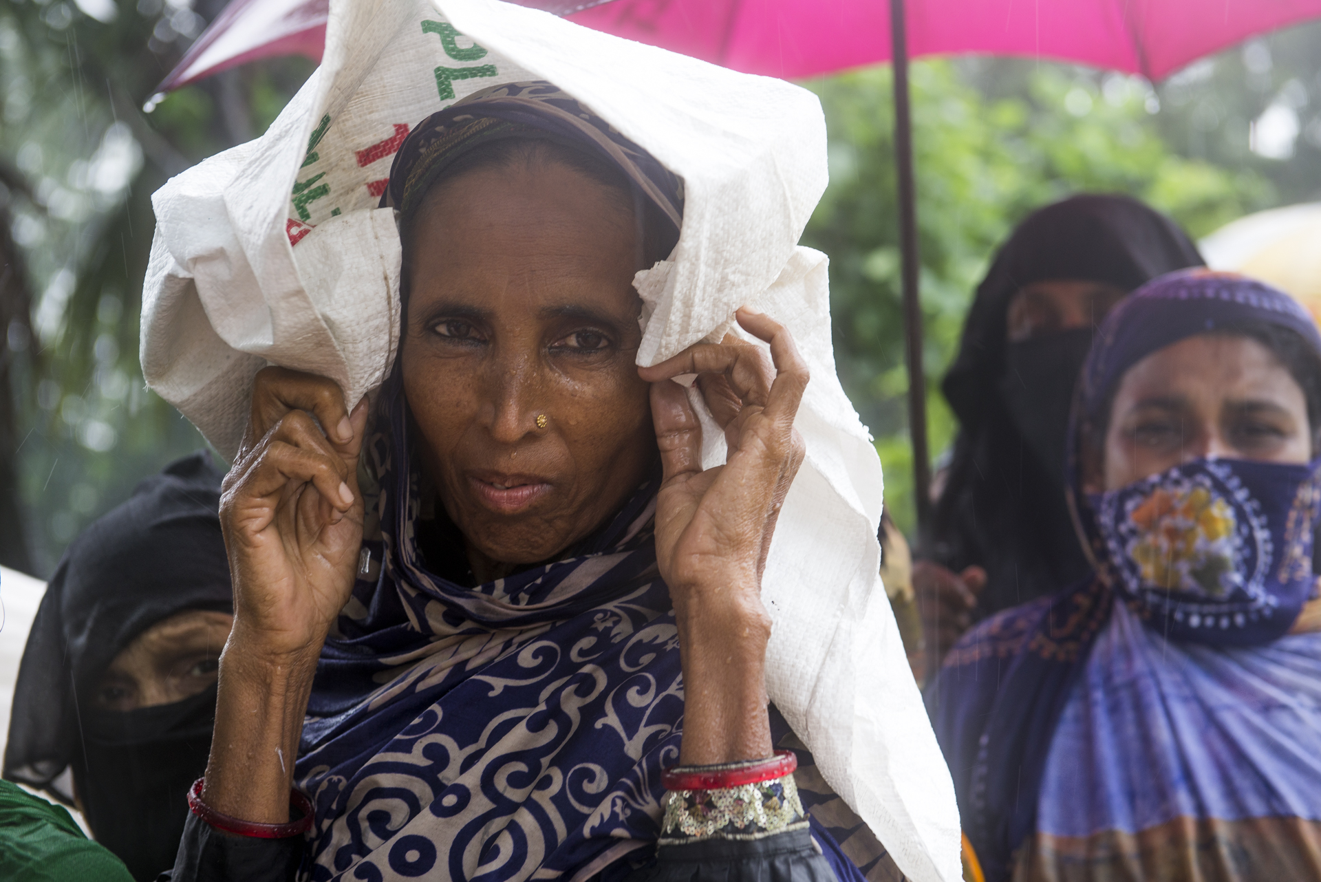
"Right after [Cyclone] Aila, stagnant water came up to our thighs. Trees that gave us fruit and timber were all washed away. Our poultry, cattle and goats were killed," said Biswajeet Biswas, a fisherman in Boalia Village in Paikgachha Upazila, 40 kilometers north of Koyra number 6. It took the community a whole year to reclaim their lives, he said, adding, "It took the government two months to repair the embankments."
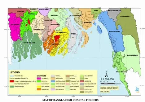
Understanding the role of the embankments is vital to understanding the tendency for flooding in this part of Bangladesh. They were built on a Dutch concept of water management and financed by a loan from Asian Development Bank and the Government of Bangladesh under programs called KCERP (Khulna Coastal Embankment Rehabilitation Project) and KJDRP (Khulna-Jessore Drainage Rehabilitation Project). The improved drainage system was meant to reduce poverty, targeting around a million people, mostly farmers, between the towns of Jessore and Khulna. The embankments were modeled on a Dutch river system that does not carry a significant amount of sediments. The three rivers that meet in Bangladesh, however, carry the largest amount of sediment in the world.
"The Bangladesh delta is an immature pro-grading one—it needs sediment to grow. But we have cut it off," said Dr. Dilip Datta, a professor of environmental science at Khulna University. "This manifests itself as an ecosystem vulnerability," he added.
The ensuing embankments are 2 meters higher than the "flood plain" or cultivable land. Water that flows over the embankment from the river finds it hard to drain back. Water stagnating on the river valley carrying suspended sediments settles on the river bed, thereby reducing its water-holding capacity. This creates water logging and flooding within the enclosures called polders, a Dutch term.
"Earlier, without the polders, the water used to flow. Now it remains consistently saline because of water logging," explained Dr. Datta.
The salinity of the water supply, frequent cyclones and the loss of livestock and land have led to a major shift in livelihoods in southwest Bangladesh. Farmers and fishermen alike have had to shift from their traditional occupations to shrimp farming. Portions of the existing embankments are broken by shrimp companies to allow saline water to enter shrimp farms, further preventing the possibility of rice or other crops being grown in the polder, allowing for further encroachment of the shrimp farms. These conditions continue to force people to migrate away from their homes."If we get another big cyclone, we'll pack up and move to India," said fisherman Asim Biswas, only half jokingly.
"Inevitably over time millions of people in the coastal areas will lose their livelihoods and will have to move. They simply will not be able to continue living there," says Dr. Huq.
Word document:


