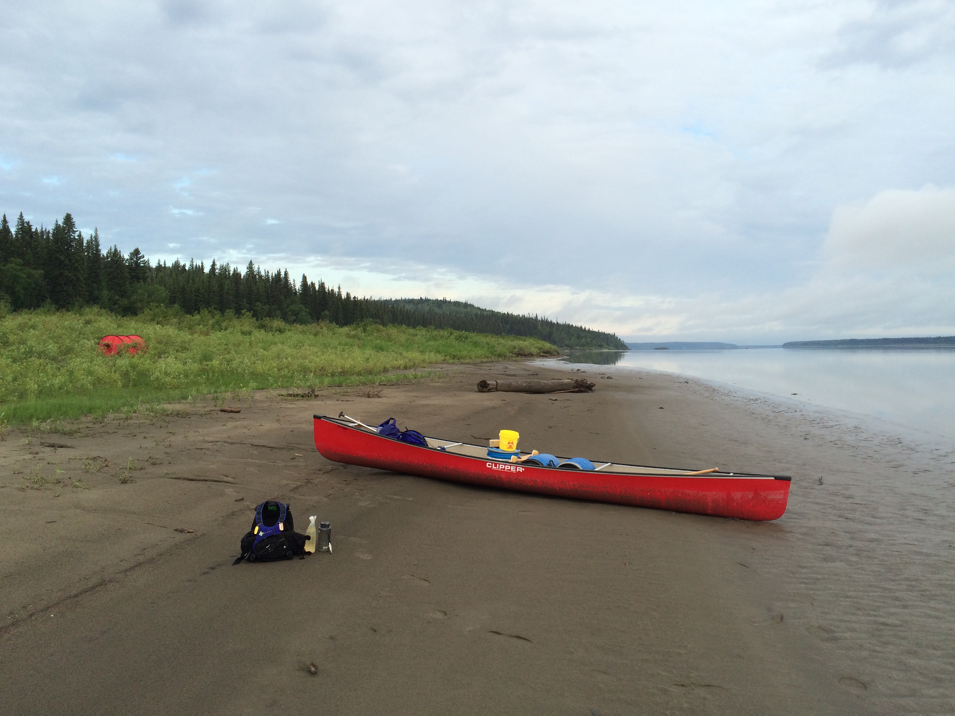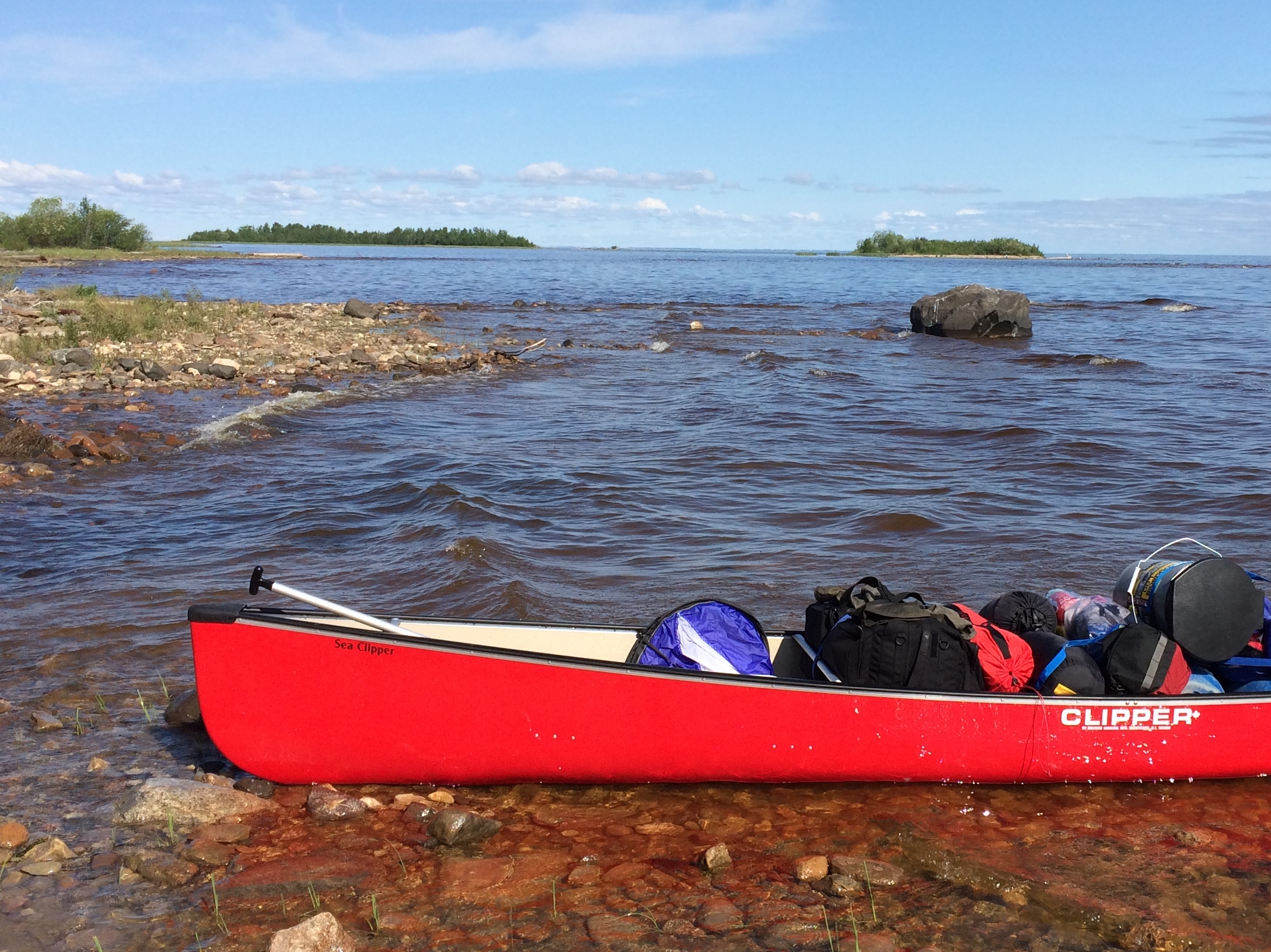
FORT SIMPSON, NWT—By the end, the Mackenzie is a dirty river. But it doesn't start that way. It starts clear, green in depth, clean enough to draw drinking water and cook and bathe.
In late June, after my first week of paddling, I was greased with dust and sweat but not yet accustomed to it; I still had a New York standard for maximum grime allowed. So I found an island with a sandy head, and rinsed and did laundry and emerged just as pink and scrubbed as I might from any spa.
Such a bath would not be possible only a few days later.
Two-hundred crisp miles below Great Slave Lake, the Liard River comes in from the west, flush with silt from the melting glaciers of northern British Columbia. When the two great rivers meet, at the small town of Fort Simpson, the Mackenzie becomes bipolar: clean and green on the eastern shore, brown and dirty on the western. Not toxic, not contaminated, not diseased, but dirty. Literally full of dirt. Stick your hand in the river up to the wrist, and you lose sight of your fingers.
For hundreds of miles, the waters of the Liard and Mackenzie remain remarkably separate. The left bank is piled high with the detritus of the Rockies, driftwood hulks of massive pine trees and dark silt that suctioned my feet with each step. The right bank stays comparatively clean, with packed and pale dried mud, but it's a losing battle. After the Liard, another dozen major mountain rivers will soon join up.
The Mackenzie's dual personality persists over weeks of paddling, but eventually the silt wins. By the end, where the delta meets the Arctic Ocean, the water is not a shocking polar blue, like you imagine from the movies. It's dull, the color of a worn-out coffee mug, all the way to the northern horizon.
My introduction to the silt was the public boat launch at Fort Simpson. The shore was flat and inviting, but when my canoe ran aground it did not grind to a halt as it would on gravel or sand. It squished. I got out and my feet sank into the dark Jell-O, almost up to my knees.
"We call this our beach!" called out a white guy with a long goatee. His name was Dean Harvey, and he would become my local guide. "Welcome to the last stop of civilization," said Harvey, as he drove me down the main drag in his massive pick-up truck.
Fort Simpson is no metropolis—a gas station, a hotel, a liquor store, a Chinese restaurant called Pandaville. But it is at the end of the highway, and for the next 700 miles to the north, the tiny local communities are accessible only by boat, plane, and winter ice roads. Harvey used to live in a village like that. A displaced Albertan who has worked as an educator in the far north for decades, his last assignment was in upper Nunavut, the largest Canadian territory, which extends all the way to Greenland.
"I took this job to move south," Harvey said, laughing.
After the blink-and-miss-it downtown, we looped back around along the Mackenzie.
"Those folks don't have driveways anymore," Harvey said, pointing to a line of houses with grand views. Like most towns on the river, Fort Simpson is high up on a bluff to avoid spring flooding. But the road along the bank was collapsing, ice-induced landslides eating away at the packed gravel surface.
Fort Simpson sits on an island of silt, the slough formed when the clear main channel meets the laden mountain river, a tail of land narrowing to the north with the current. Mound and scrape, mound and scrape—the Mackenzie and Liard work like a painter preparing drywall.
The town exists because of that silt, and yet will eventually be destroyed by it. Because really, the silt is just a second-order effect. The driving force, the destructive force, is the ice, and specifically, because of climate change, the timing and speed of its melting. The island upon which Fort Simpson rests has always been in flux, but global warming has tweaked the balanced system.
Here's how it works. Consider the old seasonal cycle, starting in stasis, in winter, when everything is frozen in place: Once spring comes, Fort Simpson's island is caught between three forces. Hundreds of miles to the south, portions of the Mackenzie basin thaw and start to flow northward. Meanwhile, the far Arctic mouth of the river remains locked up tight, causing the Mackenzie to back up like a bathtub with the plug firmly in its drain, flooding the valley. The Liard eventually breaks up as well, though in a more traditional pattern, the lower altitude (and thus warmer) mouth melting first, followed by the snows of the high glaciers frozen in the Rocky Mountains of BC.
But the cycle has been disrupted. There is no flood control on the Mackenzie River itself: I paddled the entire length of the river, and saw not a single dam for over 1,100 miles. Flood control upstream of Great Slave Lake, however, especially on the Peace River, has greatly reduced the influx of water from the south. Meanwhile, the glaciers of BC are melting at an astonishing rate. Last year, Canadian scientists predicted that by 2100, over 90 percent of the glaciers that feed the Liard River will be gone. Today, while the glaciers still exist, they are melting earlier in the season, flooding before the Mackenzie has time to break up.
Now the Liard thaws first, pushing its dirty ice floes under the clean white pack on the Mackenzie. The silty river starts to flow, grinds its massive ice jam along the shore at Fort Simpson, while the Mackenzie holds firm. More scraping, less mounding, and the town's island slides away, season by season.


