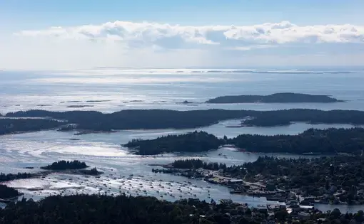


Sea level rise poses an existential threat to Maine’s 5,000 miles of coastline. The Maine Climate Council has recommended that the state manage for 1.5 feet of relative sea level rise within the next 30 years and 4 feet by 2100—figures that will dramatically alter infrastructure, livelihoods, and ecosystems from York to Lubec.
“Anybody who looks outside, who has a memory, sees the change now,” said Nik Charov, president of Laudholm Trust. “This is a slow-moving catastrophe.”
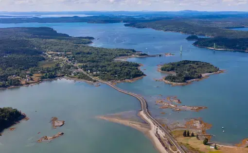
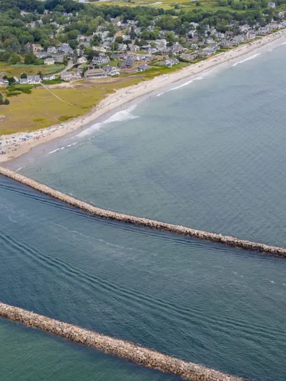
In many places, the catastrophe has arrived. Causeways that were rarely flooded are now underwater during storms, cutting off vital access routes. Increasingly powerful deluges of rain and waves are sweeping away homes and crumbling roadways. Many of the state’s saltwater marshes, which provide important nurseries for lobsters, winter flounder, pollock, and herring, are at risk of being lost. Millions of dollars of property and livelihoods are at risk, and state officials have estimated that a mere 1.6 foot of sea level rise, which scientists say is almost inevitable, will reduce Maine’s dry beach area by more than 40%, possibly within the next 30 years.
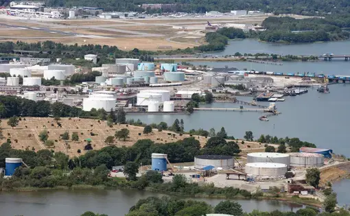
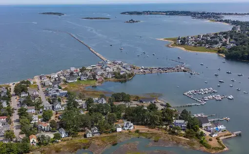
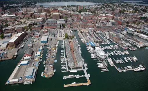
By profiling between eight and 12 towns up and down the coast, The Maine Monitor and aerial photographer Alex MacLean explore the impacts of sea level rise on everything from sandy beaches to working waterfronts and critical infrastructure that supports it all, illuminating the difficult, costly decisions residents face over what will be saved and what will be left to the sea.