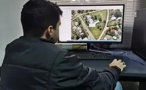
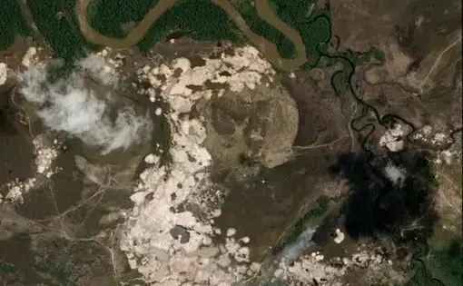
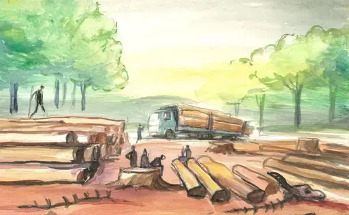
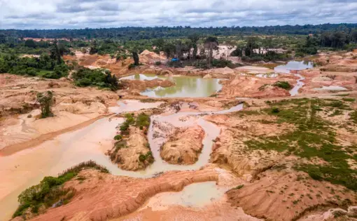
Satellite Imagery and QGIS
Any story that involves “map analysis” will fall under this category. If they are showing deforestation rates, the polygons of certain farms, or how a commodity is exploited over time in a certain area, this is the category it should be assigned to.
Satellite Imagery: The use of satellite images to track environmental changes, conflicts, illegal activities (like deforestation or illegal mining), or urban development.
QGIS: A free and open-source Geographic Information System (GIS) software that allows users to visualize, analyze, and edit spatial data.