The high demand for seafood is not matched by the availability of domestic labor.
South Korean-flagged fishing vessels can go months without touching land. The catch reaches shore first, transferred at sea to reefer ships. The crew stays on board, and the vessel's track disappears from the screen every so often. From the North Pacific to Antarctic waters, we followed what happens when these ships can no longer be tracked—and who is supposed to be watching them.
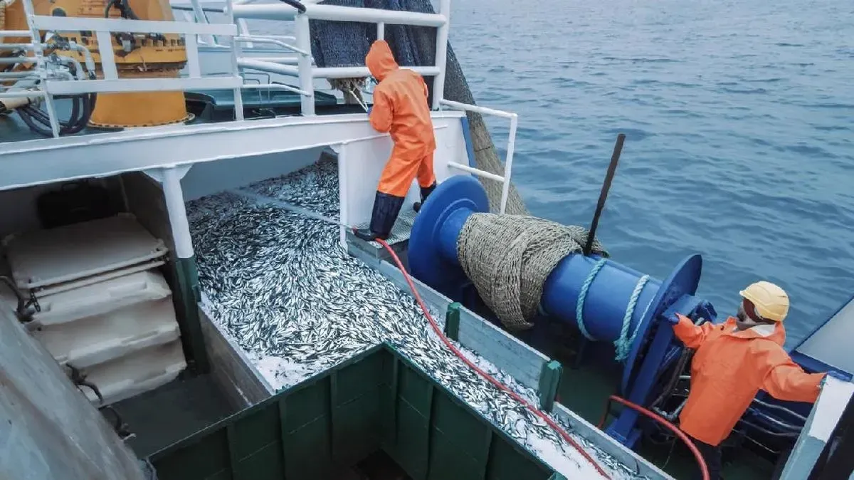
On the high seas, South Korea's distant-water fleet runs on the labour of people who are almost impossible to see from land. A report by the Environmental Justice Foundation (EJF) says about 80 percent of the workers on these ships are foreign nationals.
At the end of 2024, 4,352 foreign crew worked on 184 South Korean distant-water vessels. Of them, 3,469 came from Indonesia, almost eight of every ten foreign crew members. Indonesian seafarers have become the backbone of this industry.
As a nonprofit journalism organization, we depend on your support to fund more than 170 reporting projects every year on critical global and local issues. Donate any amount today to become a Pulitzer Center Champion and receive exclusive benefits!
They work in the engine room, on deck, in the galley and in the freezer hold. Their tasks run from switching on the lights and hauling hooked lines to sorting the catch, cooking, and keeping the ship running when land has been out of sight for days.
The first part of this investigation described their working conditions. In this second part, we follow what they saw at sea, and how their accounts open up the darker side of South Korea's distant-water fishing industry.
One shadow that follows this fleet is illegal, unreported and unregulated fishing, commonly known as IUU fishing.
In the 2025 IUU Fishing Risk Index, South Korea ranks ninth out of 152 countries, scoring 2.75 on a scale of one to five. The higher the score and the closer to first place, the greater the risk. South Korea is among the ten countries with the highest IUU fishing risk.
Measured as the state where vessels are registered, South Korea's score rises to 3.54. That assessment covers how exposed its flagged vessels are to violations, the indications of violations found, and the country's capacity to police them.
But an index score only describes the risk from a distance. To see how that risk turns into incidents at sea, we followed vessel movement records and compared them with crew accounts and official documents. We began with the entire South Korean fleet, then narrowed down to the ships that left the most questions.
We used data from Global Fishing Watch (GFW), a non-profit that turns vessel signals into records of voyages and activity at sea.
South Korean fleet; 2021–2026
6.577 vessels
Five years of one fleet's tracks
Over the past five years, GFW data recorded 105.191 encounters—the term for two vessels close together and moving slowly at sea—and 2.057 gaps in AIS, the transmitter that broadcasts a ship's position.
Each point in the data marks one event, not one vessel. A single ship can leave dozens, even hundreds of points. Once repeated identities are merged, 6.577 different vessels appear across those two sets of events.
Signals from longline marker buoys belonging to Chinese and Taiwanese vessels, which transmit with Korean-coded numbers, are excluded from the count.
Risk screening
193 vessels
Three signs at once
Out of those thousands of vessels, we screened for the ships that most often show three signs at once: signal gaps flagged as likely deliberate, activity inside protected areas, and repeated meetings with other vessels in the middle of the ocean. 193 vessels met that screening, with 21.920 event points in total.
This is not a list of offenders. It works as a starting map, a pointer to which ships most need to be traced and examined further.
Signal gone dark
65 times
One ship, 65 times its transmitter stopped
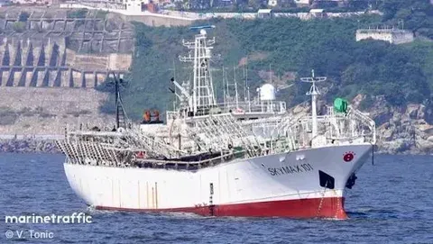
Over five years, the screened vessels recorded 913 signal gaps that the GFW system flags as likely deliberate shutdowns. SKYMAX 101 sits at the top of that list. The dashed lines join the point where its signal stopped to the point where it came back.
The “deliberate” flag comes from GFW's own analysis, not from a conclusion by us that a violation took place.
Meetings at sea
325 times
The vessels that most often meet others far from land
In the raw data, the top of the ranking is filled with coastal vessels passing each other between ten and 30 kilometres off the Korean coast. Thousands of encounters like that are not transfers on the high seas.
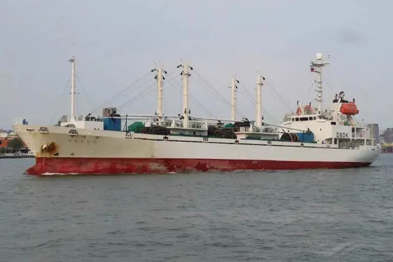
To cut out those records, we counted only encounters more than 200 kilometres from land. What the satellite records is two vessels close together and moving slowly, not a proven transfer of cargo. After filtering, SEIBU ranks first with 325 meetings. Next comes SEISHIN with 253, then SEIYU with 235.
A meeting in this data means two vessels stayed close for more than two hours and moved slowly. Position records do not show what changed hands.
Vessel database
Every point can be traced back to its ship
Behind this map are tens of thousands of event records. We assembled them into one database: vessel name, identity number, how often its signal went dark, how often it met other ships at sea, and which protected areas it was recorded in.
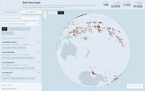
A satellite only recognises a vessel by the name painted on its hull. It does not name the people working on board.
We found those names in documents from one of the 15 Indonesian manning agencies formally partnered with KNI-KIMCO, a South Korean recruitment agency based in Busan.
The company had once published its crew placement list for 2021 and 2022. It recorded 319 placements of Indonesian crew onto 70 South Korean vessels, complete with crew names, vessel names and departure dates.
We then matched that list against the vessels screened from satellite data in the first part of this investigation. Those ships were selected on several risk indicators, among them missing AIS signals, fishing in sensitive areas, long voyages, and repeated meetings with other vessels at sea.
Thirteen of the 70 vessels on the placement list also appear in our screening. Of the 319 placements, 125 went to those ships. That means almost four in every ten placements on the list led to a vessel showing one or more risk indicators.
The data shows one thing: a considerable number of Indonesian seafarers are placed on vessels whose operations come with a record of questions.
To view the interactive "Names aboard the ghost ships," click here.
When a ship stops sending its position, who can still watch it? And when it reappears, what happened while it could not be tracked—to its cargo, to its voyage, and to the people working on board?
That question took us to the SKY MAX 101, a South Korean-flagged squid vessel.
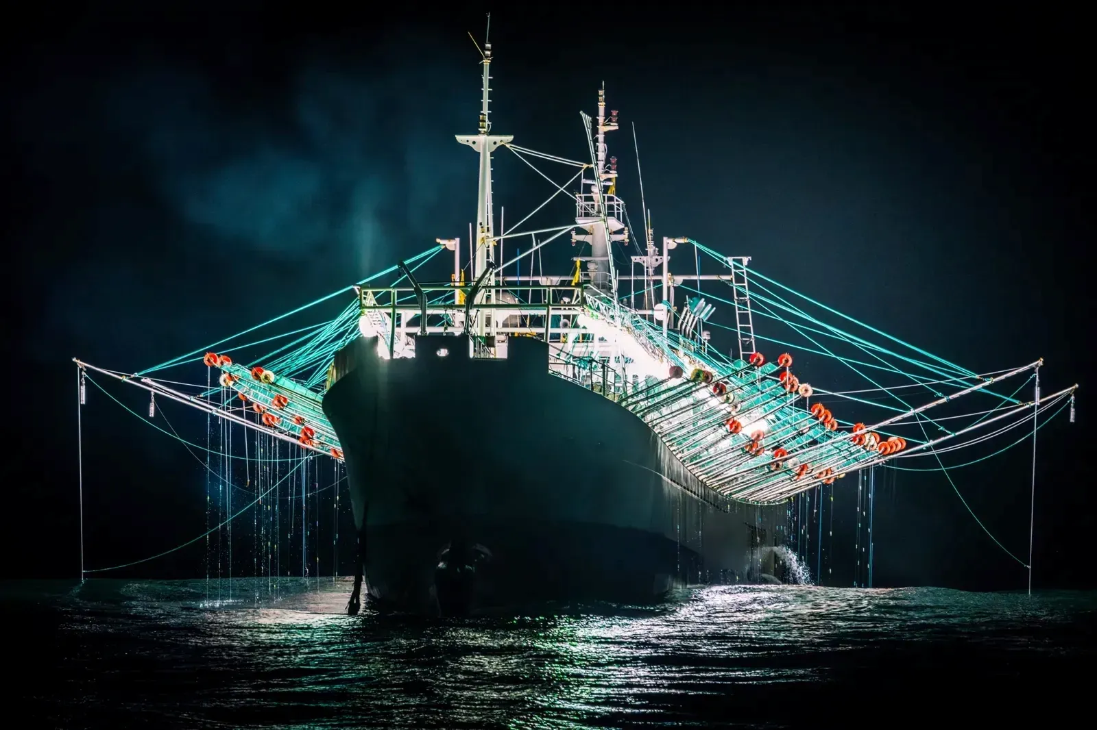
The suspicious track of the Sky Max
At night this ship switches on rows of lights running to thousands of watts to draw squid to the surface, and the jigging machines along its rails drop lines of hooks. Each year it works two oceans: the Southwest Atlantic early in the year, and the Northwest Pacific from August to November.
On 26 September 2024, at 12.46 UTC, the SKY MAX 101 appeared on the map. The South Korean-flagged squid vessel was on the high seas east of the Kuril Islands. For the previous 30 hours its position had been a mystery.
About five hours later the Yong Fa Yun 10 came alongside. The Chinese-flagged refrigerated carrier stayed beside the SKY MAX 101 for roughly 16 hours. Global Fishing Watch (GFW) data shows a median distance between them of only 38 metres, close enough to move cargo from one ship to the other.
The South Korean government later confirmed that the SKY MAX 101 did transfer cargo to the Yong Fa Yun 10. According to the ministry, the operation was reported as the rules require.
The meeting ended on 27 September at 10.10 UTC. Sixteen minutes later, the SKY MAX 101 disappeared again. This time its signal stayed dark for 105 hours.
Transferring catch at sea, or transshipment, is not banned. A fishing vessel may hand its catch to a refrigerated carrier without returning to port, as long as the operation and the cargo are reported.
But the signal pattern of the SKY MAX 101 raises another question: where did the squid it handed over come from?
That question emerged when the movements of the SKY MAX 101 were compared with those of the other vessels working around it.
That season the SKY MAX 101 fished for squid in the same stretch of sea as four other South Korean vessels: the 102 Kumyang, 301 Samyoung, 517 Sungkyung and 803 Tongyoung. The Yong Fa Yun 10 visited all five in turn between 26 September and 1 October, almost one ship a day.
From 29 August to 23 October, the signals of the four other ships never broke. Only the SKY MAX 101 kept disappearing.
The pattern matters because once the squid is transferred and recorded on paper, the cargo acquires a paper trail. The documents record which vessel handed it over, but cannot necessarily show where each catch was taken.
If fish are caught in waters where that is not allowed, it is the fishing location that needs hiding, not the place where the cargo changes hands. In a scenario like that, a vessel actually needs to be visible when it meets the carrier so that the transfer report matches its position data. It can then switch the signal off while fishing.
That is what happened with the SKY MAX 101. The first gap worth examining came before the meeting with the Yong Fa Yun 10.
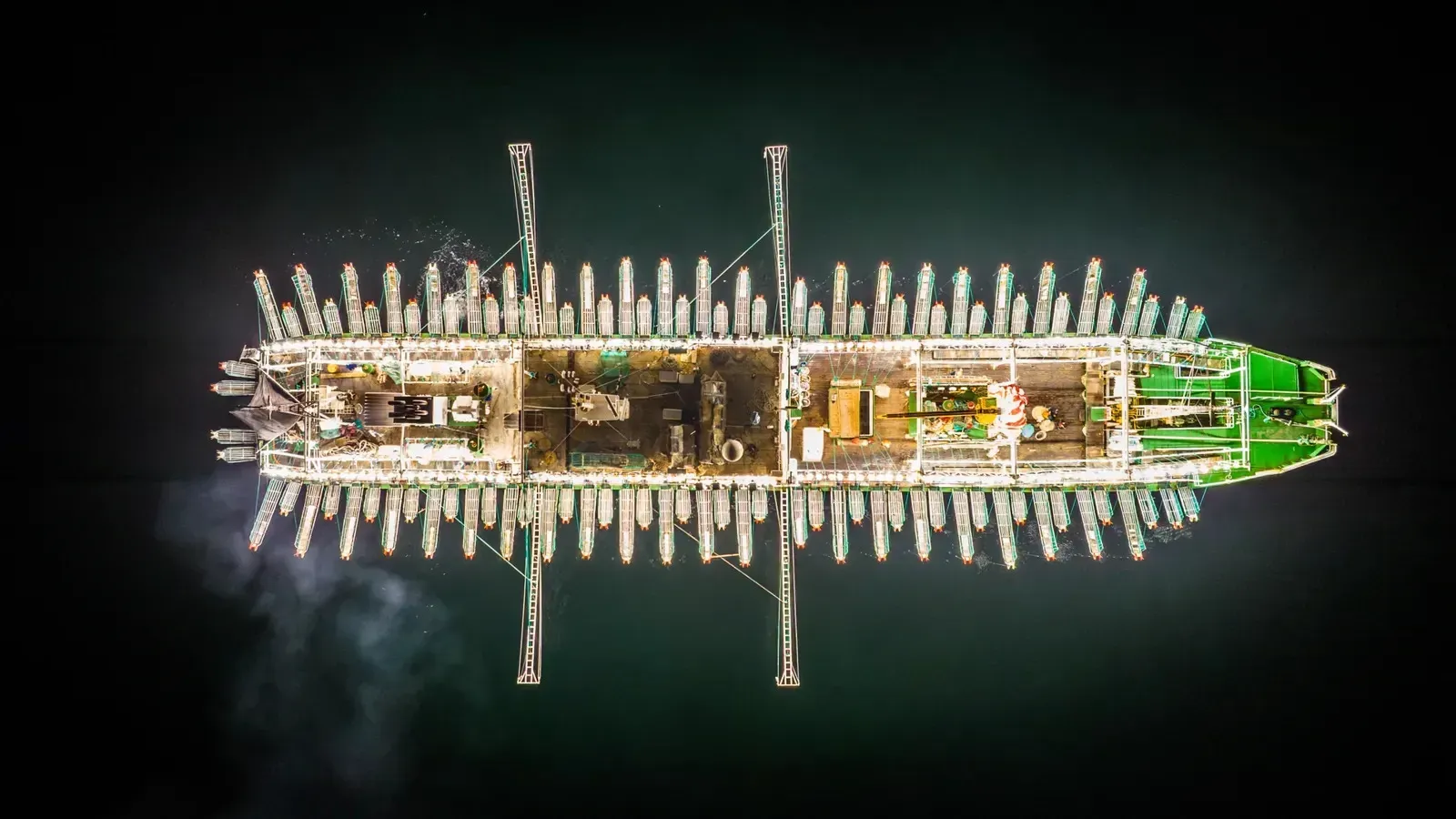
Fishing Laundering from Russia and Japan?
On 20 September 2024, six days before the transfer, GFW analysis detected the SKY MAX 101 fishing inside Russia's exclusive economic zone.
The ship was some 209 to 243 kilometres off the coast of the Kuril Islands. Its signal was still on. An Indonesian crew member who had worked on the SKY MAX 101 told us about it.
“We fished until the mountains came into view, with snow on top. Someone said it was a Russian island but we didn't know for sure. We worked there all night with the lights on,” said Iwan, not his real name. His account fits the AIS tracking, because the mountains in the Kurils are high and can be seen from far away.
The next day, 21 September at 08.29 UTC, the signal went out. The last position of the SKY MAX 101 was 368 kilometres from shore, only about two kilometres inside the 200-nautical-mile boundary of the Russian zone.
The ship was seen again 83 hours later, by then on the high seas. While it was missing, its position had shifted a net distance of only about 49 kilometres.
A shift that small looks more like a squid vessel at work than a ship steaming somewhere else.
Public data cannot show where the ship went during those 83 hours. It may have stayed near the boundary, moved into the high seas, or gone further into restricted waters. Position data also cannot confirm on which side of the line it was fishing while the signal was off.
Two days after reappearing, the SKY MAX 101 handed cargo to the Yong Fa Yun 10.
A similar pattern preceded the next meeting, in October 2024. After 105 hours dark, the SKY MAX 101 surfaced briefly, then disappeared again for 153 hours on 3–9 October. A day after the signal returned, the ship sailed almost 600 kilometres west.
On the nights of 10 and 11 October, GFW detected it fishing again. This time only 61 to 65 kilometres off the southern Kuril Islands, in waters claimed by both Japan and Russia.
On 13 October, the SKY MAX 101 came alongside the Yong Fa Yun 10 once more. The two ships stayed close for almost ten hours.
Both of the SKY MAX 101's meetings with a carrier that season were therefore preceded by fishing in Russian waters or in the area disputed with Japan.
The problem is that the available licences do not show that South Korean squid vessels may fish in those waters.
The 2024 session of the Korea–Russia Fisheries Commission granted South Korean vessels quotas in only two Russian areas: the western Bering Sea for trawlers and longliners, and the waters off Primorye in the Sea of Japan for squid jiggers.
The Kuril waters on the Pacific side are not covered by that agreement, nor are the disputed waters around the southern Kurils. Vessels licensed in Russia must also carry tracking equipment tested by the Russian authorities and take a Russian observer on board. “No Russian ever came aboard. On the ship there were only Koreans and us,” Iwan said.
That answer matters as evidence that the Russian authorities were not involved in the squid fishing in their own waters.
The SKY MAX 101 was not the only Korean ship entering those waters. On 19 and 20 September, four other vessels in the same group were also detected fishing in the Russian zone, some as close as 165 kilometres from shore. On 10 and 11 October, all five worked close together in the southern Kuril waters.
The difference lies in their signals. The four other ships kept broadcasting their positions. Only the SKY MAX 101 kept disappearing, including while sitting right on the boundary of the Russian zone.
The ship did not always hide when it entered those waters. On 10 and 11 October, while fishing in the southern Kurils, its signal stayed on.
That inconsistency is what leaves the question open: why did the ship let itself be seen on some occasions, while on others its signal stayed dark for days?
We put those gaps to South Korea's Ministry of Oceans and Fisheries.
“During that period the VMS position signal was received normally,” the ministry wrote on 2 September 2026. VMS is a separate system for monitoring the position of fishing vessels.
Unlike AIS, which is public, VMS data goes only to the government. If that statement is correct, the South Korean government knew where the SKY MAX 101 was during the 83 hours it was missing from the public map.
We also asked for an explanation from the company linked to the SKY MAX 101. KOSWEC, the official directory of Korea's distant-water fishing industry, records the ship as belonging to C-Max Fishery, a company based in Busan. In its written reply, however, the company used the name Seamax.
On 28 August 2026, Seamax said it had reviewed our questions. It declined to answer because, in its words, they “do not pertain to our vessels”.
That denial is hard to check against other sources. Neither the NPFC registry nor Global Fishing Watch lists an owner for the SKY MAX 101. KOSWEC is therefore the only public record we found linking the ship to C-Max Fishery.
The government should also be able to tell whether the ship stayed in Russian waters, moved to the high seas, or crossed into the zone claimed by Japan. The Korean government did not respond when we asked for the VMS data of the SKY MAX 101. Russia is not the only case: there are strong indications the SKY MAX 101 also entered the Japanese zone. “I don't know the exact area, but the Korean crew did say we went into Japanese waters,” Iwan said.
Russia is not the only case: there are strong indications that the SKY MAX 101 also entered the Japanese zone.
The suspicion that the SKY MAX 101 fished inside Japanese waters is not without precedent.
Since 1 July 2016, South Korean vessels have been barred from fishing in Japan's exclusive economic zone, after fisheries talks between the two countries broke down.
Yet after that ban took effect, GFW analysis detected the SKY MAX 101 in activity resembling fishing 12 times inside the Japanese zone, for 88 hours in total.
Some of those events took place only 29 to 49 kilometres off the coasts of Hokkaido and Fukushima. All of them happened at night, when squid vessels burn bright lights to draw the catch to the surface.
In November 2019, after four consecutive nights detected fishing off Sanriku in Japan, the signal of the SKY MAX 101 went out inside the Japanese zone. The ship disappeared for 99 hours.
Taken together, the pattern strongly suggests the SKY MAX 101 switched off its AIS to hide unlicensed fishing in other countries' waters, Japan and Russia among them, before handing the catch to a carrier on the high seas.
Transshipment and the Poor Record of Korea's Squid Fleet
On 16 August 2025, on the high seas of the Northwest Pacific southeast of the Kamchatka Peninsula, the SKYMAX 101 again pulled alongside a carrier.
This time it was not the Yong Fa Yun 10.
The ship was the Ming Hang 7, a Vanuatu-flagged refrigerated carrier. The two stayed alongside for 2 hours 10 minutes. The Ming Hang 7 is not a carrier that usually serves the South Korean fleet. Through 2025, GFW recorded it meeting fishing vessels 51 times: 28 with Taiwanese-flagged ships, 22 with Chinese ships, and only once with a South Korean ship, the SKYMAX 101.
From mid-August to early September, the Ming Hang 7 came alongside Taiwanese squid vessels in the same waters almost every day.
The meeting with the SKYMAX 101 was also among the shortest. Of the 51 meetings recorded that year, most lasted between three and ten hours. The one with the SKYMAX 101 lasted just 2 hours 10 minutes; only one other meeting was that brief.
The record of the Ming Hang 7 has layers of its own.
The ship, IMO 9128037, was registered as the Crown Emerald under the Singapore flag in 2012. Two years later it became the Crown Emma under the flag of Barbados, a name it kept until 2018. During that period the registered owner was Amalia Shipping, a company incorporated in the Cayman Islands.
Since 2019 the ship has carried the name Ming Hang 7. It flew the flag of Panama first, then switched to Vanuatu in February 2023.
The vessel's authorisation at the North Pacific Fisheries Commission (NPFC), the body that manages fisheries in the North Pacific, has also lapsed twice: from November 2020 to November 2021, and from December 2022 to September 2024. In August 2025 the authorisation was issued again.
What makes this meeting odd is its timing.
The SKYMAX 101 lay in Busan from 23 June to 10 August 2025, almost seven weeks. It left on 10 August, sailed northeast, and six days later came alongside the Ming Hang 7, more than 3,300 kilometres from Busan.
During those six days of sailing, the GFW algorithm flagged no fishing activity at all by the SKYMAX 101. Its first fishing detection of the season came only on 19 August, three days after the meeting with the Ming Hang 7.
The 16 August meeting does not appear in the written answers from South Korea's Ministry of Oceans and Fisheries. The transfer table the ministry provided only answered our questions about two Chinese carriers, the Yong Fa Yun 10 and the Yong Fa Yun 12.
So why would a ship six days out of Busan, its holds most likely just emptied, need to spend more than two hours alongside a carrier that normally serves the Taiwanese fleet?
If all it needed was food, fuel or ordinary supplies, those could have been taken on before it left Busan.
The strong suspicion is that what moved was something that could not, or would not, be handled through a port. What changed hands may not have been goods but people. “As I remember there was a crew change after we left Busan, Indonesians among them,” Iwan said.
A crew exchange at sea is not merely logistics. Every crew member is tied to a vessel, a company, an employment contract and a particular crew list.
A move to another ship therefore has to be reported and recorded through official procedures, including a change to the crew list and immigration and labour checks.
If a crew member is moved without a report, without inspection, or without a change of documents, the problem is not only where the transfer happened. Their employment status becomes unclear, and the move may breach labour, immigration and fisheries-control rules.
One Indonesian crew member we interviewed said he had previously worked on a South Korean vessel. He was then ordered to work on a Taiwanese-flagged ship. When it was time to go home, he was put back on a Korean vessel.
In its report Out of Sight, Out of Control, EJF calls transshipment one of the most vulnerable points in the squid supply chain.
Of the 35 Korean vessels EJF examined, two, 5.7 percent of the sample, were suspected of fishing without a licence in another country's exclusive economic zone. Two others showed indications of vessel identity manipulation. Three were linked to shark finning, two to catching vulnerable marine species, and one to the deliberate killing of seals or sea lions.
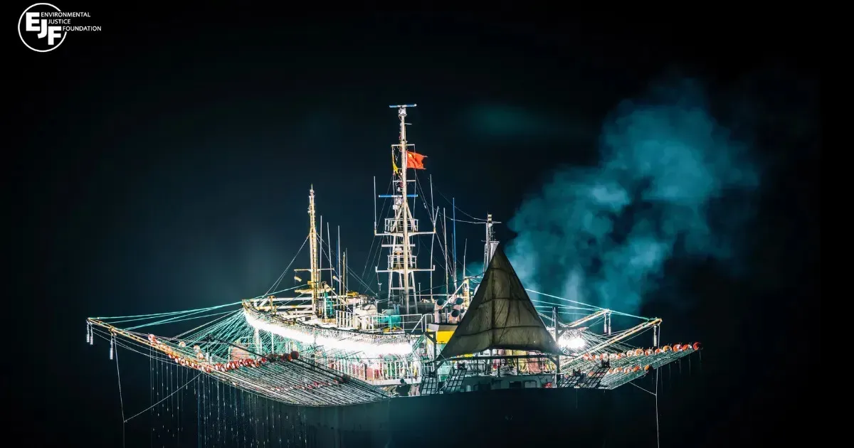
Without independent observers or electronic monitoring on both ships, transfers at sea make the origin of a catch harder to trace and raise the risk of IUU fishing, human trafficking and labour abuses.
In 19 months aboard the tuna longliner Dongwon 632, Tono, not his real name, never saw an inspector come on board to check the ship at sea.
“Was the ship ever inspected while it was working at sea?” we asked.
“Never.”
Tono, a pseudonym, came home in February 2026. He worked on a South Korean-flagged tuna vessel. The ship used longlines: a long rope carrying many baited hooks.
His workplace was the Pacific Ocean, far from any port. The catch, though, did not have to wait for Tono to go home before it left the ship.
Every three or four months, Tono said, a carrier arrived. The fish were moved across to it. The Dongwon 632 then went back to work. Tono remembered one of the carrier names as “Seyu”.
The carrier has refrigerated holds. It works like a floating freezer warehouse. By moving the fish across, a fishing vessel can empty its own hold without returning to land.
Moving catch from ship to ship at sea is called transshipment. For Tono it became part of a voyage that lasted more than a year.
According to Tono, a foreigner from the carrier supervised the transfer. He did not explain the man's role. Asked whether there was an observer on the ship where he worked, he said there was none.
“Not yet, no. On the Chinese ship there was one, but not on the Korean ship.”
Tono had worked on a Chinese vessel in 2017. There, he said, there was an observer. He did not find one on the Dongwon 632.
Far to the south, in the cold waters around Antarctica, another ship raises a different question.
A Suspicious Track in Antarctica
In expensive restaurants in the United States and Europe this fish is known as Chilean sea bass. A single serving can sell for 50 US dollars.
Its real name is toothfish, a species that lives in the cold waters of the Southern Ocean at depths of more than a thousand metres. The crew who haul it onto the deck, clean it and stow it in the freezer hold come from places such as Indramayu, Brebes and Tegal.
Toothfish caught by Korean vessels is exported through Chile and Uruguay. In 2025, more than 1,800 tonnes of it entered the United States.
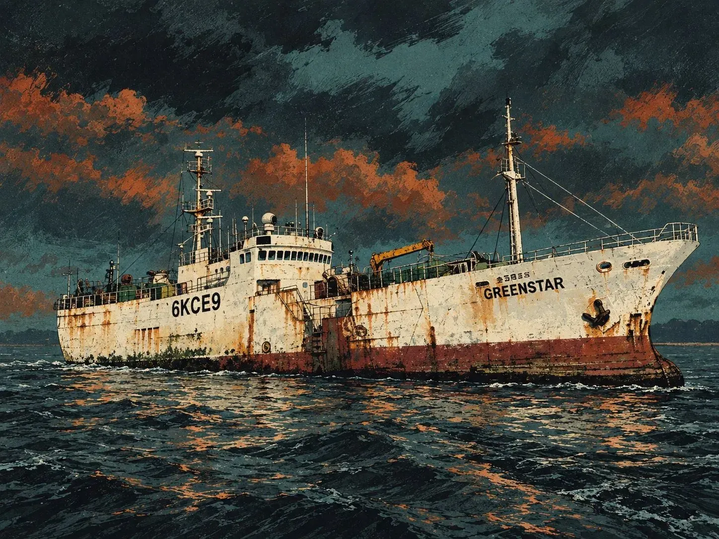
The ship is called the Green Star. It is owned and operated by TNS Industries Inc. To fish, the Green Star uses bottom longlines, sets of hooks laid near the sea floor.
The Green Star appears on the list of vessels licensed by CCAMLR, the intergovernmental body that regulates the conservation of Antarctic marine life.
The licence is granted each year and must be renewed. The latest data shows the vessel's licence running from 1 December 2025 to 30 November 2026.
That licence names only Subarea 48.6, the waters around Bouvet Island and to its south.
The area number matters. A licence to fish in one area does not automatically apply to another. Global Fishing Watch (GFW) data shows 15 Green Star activities resembling fishing in three areas outside the vessel's licence.
Nine of them were recorded in the waters of South Georgia, four in the Weddell Sea, and two around the South Orkney Islands.
7–8 February
Leaving the licensed area
Before this, the ship was recorded inside its licensed area. The straight-line distance from there to the string of points in the Weddell Sea is about 533 kilometres.
That figure is the distance between locations in the data, not the length of the full route the ship travelled.
7–8 February
533 km
Straight-line distance from the 7 February point to the first Weddell point.
8–9 February
24 j 22 m
Interval between the first and fourth Weddell records.
8–9 February
Almost twenty hours in a single record
One of the four Weddell records ran for almost 20 hours. It began on the night of 8 February and ended the following afternoon, in UTC.
For that leg, GFW recorded about 30 kilometres of movement. So even though the points look close together on the map, the ship cannot be treated as motionless for a whole day.
9–11 February
Back inside the licensed area
After that sequence, the ship was recorded in its licensed area again, about 565 kilometres from its last point in the Weddell Sea.
Source: Global Fishing Watch, pulled 7 September 2026. The Antarctic land basemap is simplified.
9–11 February
565 km
Straight-line distance back to the point inside Subarea 48.6.
In a written answer to us on 2 September 2026, South Korea's Ministry of Oceans and Fisheries confirmed that the Green Star holds no licence to operate in Subareas 48.3 and 48.2.
According to the ministry, VMS records, the vessel monitoring system held by the government, show the Green Star sheltering from bad weather on 27 December 2025.
The ship also sheltered on its way home on 3–6 May 2026. Those events, the ministry wrote, were reported to the CCAMLR Secretariat.
We tested that account against ERA5 weather data, not only at the ship's position but also in the surrounding waters. On both dates, bad weather was indeed recorded.
On 28 December, wave heights where the Green Star had been working in the Southwest Atlantic reached 8.1 metres. Where the ship sheltered, waves were only 3.4 metres. In early May, winds on the open sea around South Georgia blew at 18 to 30 knots.
But a ship waiting out bad weather usually moves on once conditions improve. The Green Star instead left South Georgia on 6 May, when waves on its route home peaked at 7.4 metres.
Two days later, wave heights on the same route dropped to 2.9 metres.
Weather can explain why a ship stopped. Weather does not explain what the ship did while it was stopped.
While in the South Georgia area on 3–6 May, the Green Star held about six to seven kilometres off the coast. It kept its position under engine power. Over 32 hours it moved no more than 2.4 kilometres, even though the wind reversed by almost 180 degrees.
The GFW algorithm flagged seven of the vessel's movement records there as activity resembling fishing. Those points sit on the island shelf, in about 100 metres of water.
Juvenile toothfish and several rockcod species live on that shelf. CCAMLR reports show that trawlers working the South Georgia shelf have taken hundreds of tonnes of toothfish and thousands of tonnes of rockcod.
CCAMLR bans directed fishing for several species on that shelf and caps their bycatch. In the area where the Green Star does hold a licence, Subarea 48.6, fishing for toothfish shallower than 550 metres is also prohibited.
Satellite data cannot confirm whether longlines were actually set. South Korea's Ministry of Oceans and Fisheries says it reported the events to CCAMLR.
The CCAMLR list of vessel movements is open only to member states, South Korea among them. We asked for a copy of the report. The ministry did not provide it. The VMS records behind its denial have never been shown either.
We asked TNS Industries for comment; no answer had come by the time this story was published.
Arnold, not his real name, has worked on the ship since June 2025. He did not know the Green Star had been outside its designated area. He only said that February and May are indeed the fishing season.
In early February he worked as usual and set the longlines. He also remembered that in May, before the ship made landfall, they travelled a long way to some point.
“Before we landed in Chile the ship travelled a long way. But I don't know where to,” he said.
The port records we pulled show only one landing that month, at Punta Arenas in Chile.
The Green Star was berthed at Punta Arenas on 13–23 May. On the day it arrived, Chilean customs records show Sunwoo Corporation buying 28.5 tonnes of ship's stores worth 47,807 US dollars. The supplies included food, machinery, an inflatable boat and marine equipment.
According to GFW data, the Green Star was the only vessel under the Sunwoo name berthed at Punta Arenas that month.
Every foreign vessel entering a Chilean port must file a form with Sernapesca, the Chilean fisheries authority. The form records the species and quantity of fish in the hold.
That document could answer a question satellite images cannot. The toothfish the Green Star catches in its licensed area is almost entirely the Antarctic species. The toothfish caught at South Georgia, by contrast, is entirely the Patagonian species.
We contacted the Chilean authorities to ask about the landing form and the contents of the Green Star's hold. As this story was written, no reply had come.
What Goes Dark Beyond Antarctic Oversight
The Green Star is not the only Korean ship in those waters. South Georgia is not the only question left unanswered.
This season, nine Korean vessels were recorded operating in Antarctic waters. They belong to three companies.
Across the data we examined up to September 2026, the AIS transmitters of those nine vessels stopped 139 times in a pattern GFW flags as a likely deliberate shutdown.
Of those, 121 came from four vessels owned by TNS Industries: the Kingstar, Blue Ocean, Green Star and Sunstar. Together they add up to 10,039 hours, more than a full year.
By comparison, the Southern Park, the busiest vessel of Hongjin Corporation, never switched off its transmitter.
Where the shutdowns happened makes the figure stranger still. In the Ross Sea, where these ships fish for toothfish, VMS must stay on. A scientific observer must be on board, and every kilogram of fish must carry a document of origin.
Ninety-one of the TNS shutdowns happened outside that area, mostly on the high seas of the Southwest Atlantic, where no such obligations apply. Between June and October, when the Antarctic fishery is closed, there was not a single shutdown inside the CCAMLR area.
Companies usually explain lost signals as poor reception, a port call, or faulty equipment. The data supports none of those three.
In the 12 hours before the signal stopped, satellites received an average of 375 positions from those ships. Not one shutdown began within 50 kilometres of a port. While the signals were missing the ships kept moving; in half of the shutdowns, the point where the signal returned lay more than 62 kilometres from the point where it stopped.
Some of those runs lasted far longer. In November 2021 the Blue Ocean covered 5,717 kilometres in 20 days with its transmitter off.
In August 2021 the Green Star vanished from tracking for 66 days. In February 2024 the Kingstar transmitted nothing for 36 days and moved 1,876 kilometres.
The high seas of the Southwest Atlantic are the largest source of toothfish for the Korean fleet. According to CCAMLR catch documents, Korean-flagged vessels landed 2,080 to 2,614 tonnes of toothfish from that area every year between 2014 and 2025. Their Ross Sea catch never exceeded 1,724 tonnes a year.
In those waters the tanker Sealion supplies the fuel. Between September 2021 and the end of 2025, the Sealion was recorded meeting other vessels 400 times. Of those, 397 took place in the Southwest Atlantic.
The Sealion served 47 Korean-flagged vessels. The tanker itself never switched off its transmitter. In November 2025 it changed flag from Liberia to Uruguay.
The Kingstar refuelled from the Sealion five times on the high seas of the Southwest Atlantic. Four of those meetings fell within a week of a Kingstar AIS shutdown; two of them were bracketed by shutdowns before and after.
On 4 August 2022, the Kingstar's signal returned 21 minutes before its meeting with the Sealion began. Refuelling at sea is lawful. The hours when the ship's signal disappeared around that meeting, however, remain unexplained.
The vessels the Sealion serves carry Indonesian crew. Eight vessel families on the Sealion's customer list also appear in a recruitment agency's list of Indonesian crew placements. One of them is the Pratidina 28, among the ships the Sealion visited most often.
We contacted a number of Indonesian crew members to confirm this. Some did not respond. One who did was unwilling to say more, considering the issue sensitive and fearing that his account might affect his chances of working again.
“Maybe later, mas. I'm heading back out soon,” he said.
The illustrations and reconstruction footage on this page were created with the help of artificial intelligence and curated by the author. The footage is scrolled back and forth by the reader, not played back. The shapes of named vessels refer to official NPFC and CCAMLR registry photos; the scenes remain illustrations, not photographs or dated reconstructions of events. Maps and charts are derived entirely from data.
The video in the SKY MAX 101 chapter is from a social media post by a crew member; audio has been removed. Voyage data, AIS pauses, encounters, and port visits are from Global Fishing Watch. Dots on the map indicate dated events, not the vessel's AIS track recording.