


Project
The Unstoppable Ocean
This project explores the impacts of sea level rise on everything from sandy beaches to working...
Two feet of sea level rise coupled with a storm like the infamous Blizzard of 1978 would be enough to submerge most homes in Camp Ellis.
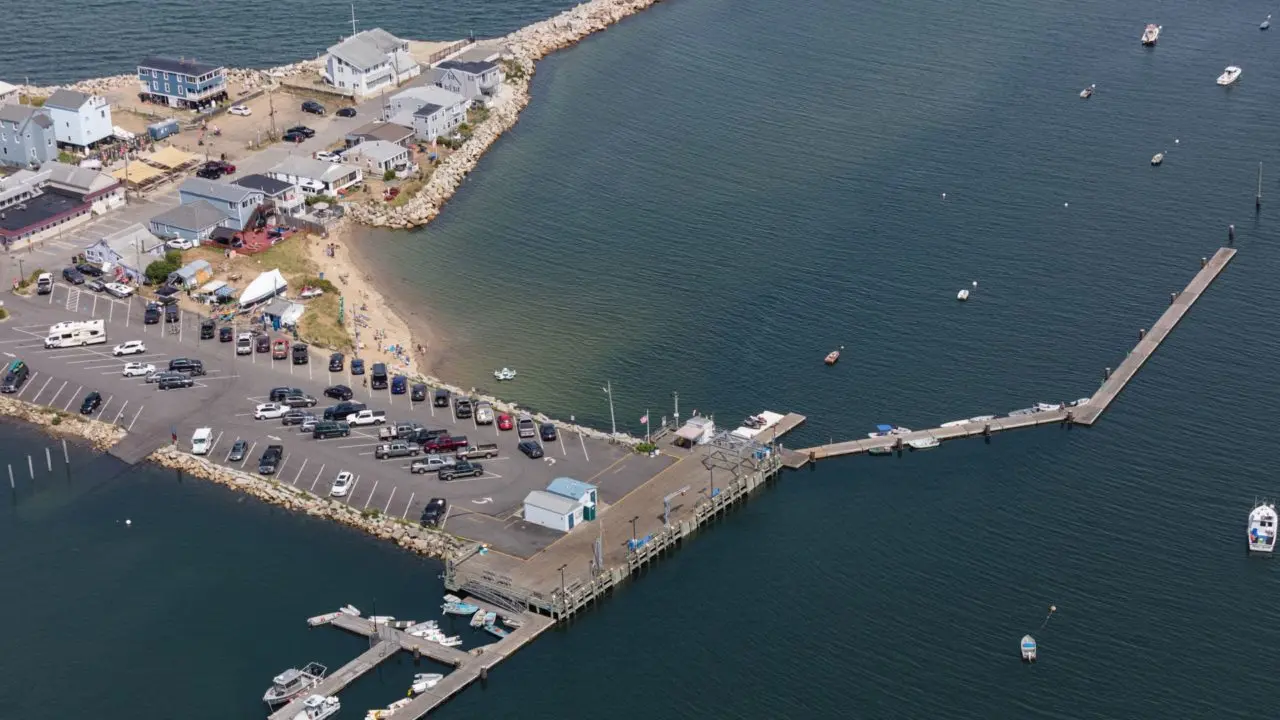
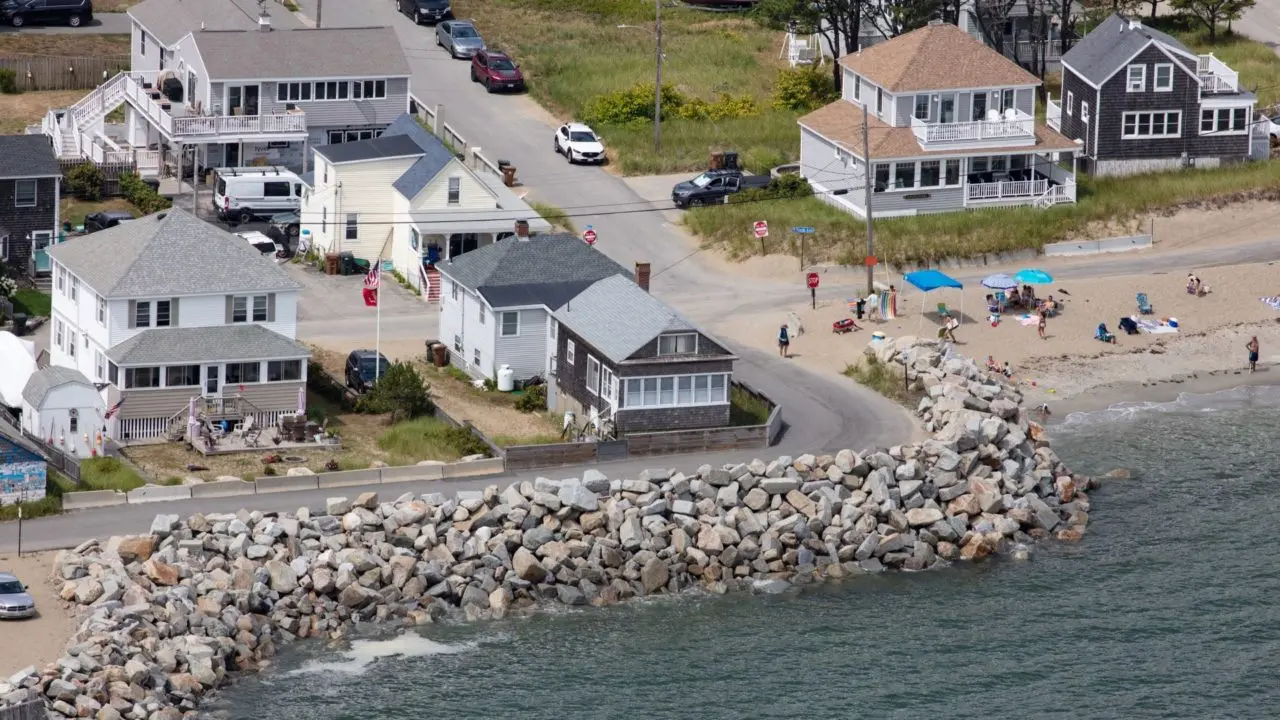
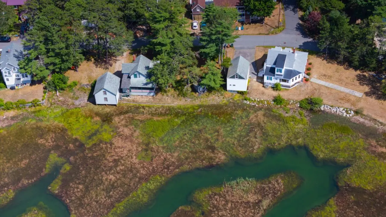
Even those of us not blessed with outstanding athletic ability could, with near certainty, throw a baseball into the Atlantic Ocean from David Plavin’s front yard in Saco. That is because the ocean essentially is his front yard, separated by a sidewalk-width stretch of beach and a low, jumbled wall of rocks.
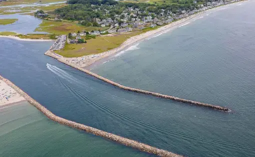
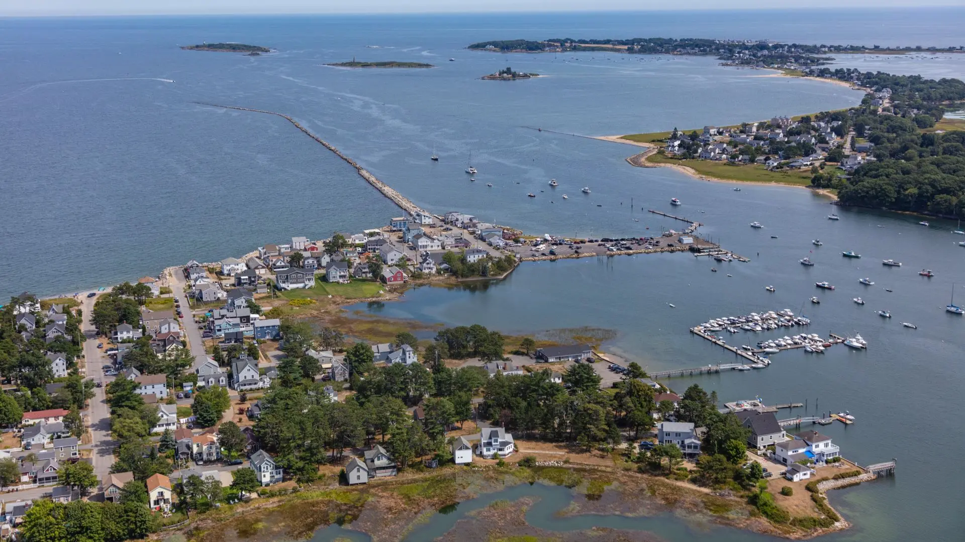
Not long ago—within living memory—those rocks were a wide sandy beach. Over the decades, ocean currents have scoured sand from Plavin’s yard and whisked it north, settling it at Pine Point in Scarborough. Because of a jetty built by the Army Corps of Engineers in the 1860s, sediment from the Saco River that normally would swing around the mouth of the river and replenish the beach at Camp Ellis is instead stopped by a great wall of rocks. In 1908, the shoreline of Camp Ellis was 400 feet farther out to sea than it was 100 years later, largely because of that jetty.

As a nonprofit journalism organization, we depend on your support to fund our nationwide Connected Coastlines climate reporting. Donate any amount today to become a Pulitzer Center Champion and receive exclusive benefits!
In late July, Sen. Susan Collins announced that she had secured $45 million to build a 750-foot spur perpendicular to the jetty, which officials say will help stem the erosion. Saco Mayor Bill Doyle praised the announcement, which came 15 years after the Senate first appropriated money for the project (the price has nearly doubled since then).
But extending the jetty likely won’t take care of another pressing problem. Two feet of sea level rise—the Maine Climate Council recommends communities plan for 1.5 feet by 2050 and four feet by 2100—coupled with a storm like the infamous Blizzard of 1978 would be enough to submerge most homes in Camp Ellis. Six feet, and what is now a long sandy spit of ice cream shops and beachfront homes, and inns stretching from Camp Ellis north to Scarborough will almost entirely disappear.
In eons past, beaches have responded to rising seas by migrating inland, rolling over themselves in what Peter Slovinsky, a Maine Geological Survey marine geologist, likes to call a “tank tread pattern.” The problem comes when there is nowhere for those beaches to go, because of development or some impeding geological feature. Camp Ellis, Wells, Higgins, Old Orchard all are at risk of being swallowed, or only accessible at low tide.
The $45 million in recently approved funding for Camp Ellis also includes money for “beach nourishment,” or moving sand from where it isn’t wanted and depositing it where it is.
Plavin is happy there’s been progress on some type of plan, but isn’t sure an additional jetty is the solution. Save Our Shores Saco Bay, a citizen organization (Plavin is the vice president), has advocated instead for placing large concrete pyramids, known as “wave attenuation devices,” just offshore. It received $20,000 in state funding to hire a company to complete plans for them. “(The devices) have been very effective in fighting off coastal erosion” elsewhere, said Plavin. But he said “there’s a lot of apprehension” that they would be effective, especially given that the jetty is largely responsible for the problem in the first place.
Extending the jetty and adding sand to Camp Ellis may buy time. But most of these solutions, said Slovinsky, “are built on the concept of holding the line. We’re going to be able to do that for a certain amount of time. When sea level rises one, or maybe two feet we’ll be able to do that. But once it rises beyond that, it’s going to be a challenge, in my mind, to protect the infrastructure behind it and to have the beach to recreate on in some of those highly developed areas.” He paused. “We need to love our beaches. But we’re loving our beaches to death.”