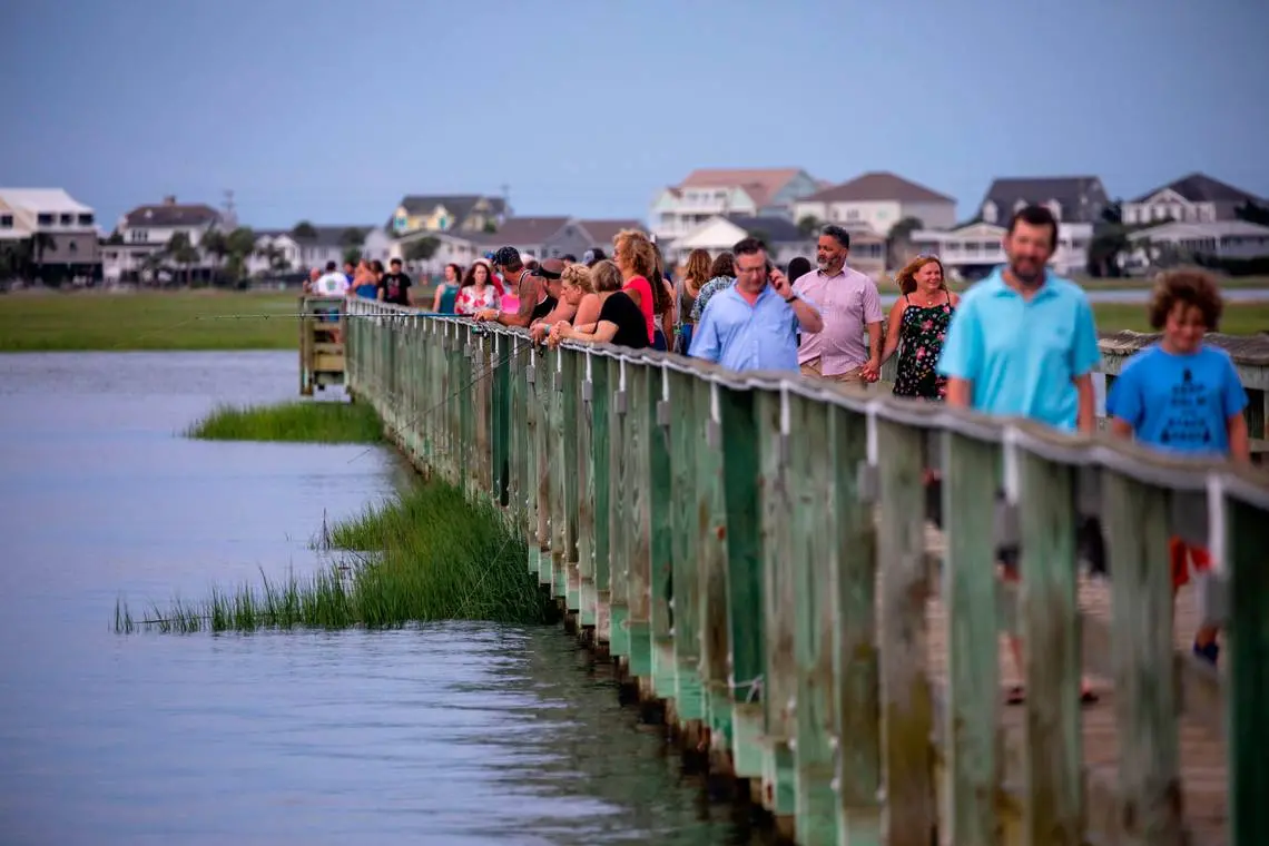
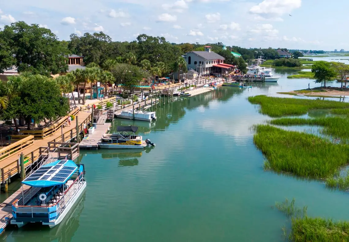
On a steamy Friday afternoon last summer, Murrells Inlet brimmed with people strolling the community’s boardwalk or lounging in the bars and seafood houses that overlook the grassy marsh 13 miles south of Myrtle Beach.
Cover bands played Jimmy Buffett music as the happy hour crowd sipped beers in one of the most developed marshside villages in South Carolina, a place that generates millions of tourist dollars every year because of the tidelands at its doorstep.
Unknown to many people, however, was a looming threat to the economy, the environment and public safety.

As a nonprofit journalism organization, we depend on your support to fund our nationwide Connected Coastlines climate reporting. Donate any amount today to become a Pulitzer Center Champion and receive exclusive benefits!
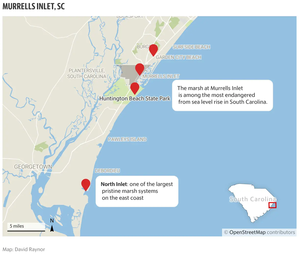
The marsh at Murrells Inlet is among the most endangered from sea level rise in South Carolina.
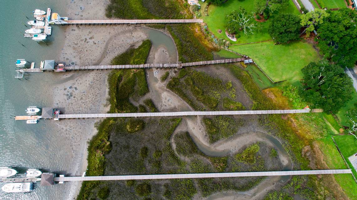
Ringed by bulkheads, creek houses, docks and restaurants, Murrells Inlet’s marsh is at risk of drowning, converting from a verdant wetland of spartina grasses to an open bay filled with mudflats.
If seas rise by four feet in the next 80 years, as some scientific forecasts show, it could kill the marsh grasses that hold the wetlands together, a change that could damage the tourism economy, upset the balance of nature and leave the mainland more vulnerable to hurricane-driven storm surges.
Some of the loss of salt marsh at Murrells Inlet should become evident in the next 20 to 30 years if the ocean continues to swell as expected, according to a sea level rise forecast system maintained by the National Oceanic and Atmospheric Administration.
“Murrells Inlet will become an open water basin at some point because those marshes will drown with accelerated sea level rise,’’ said Erik Smith, a scientist who studies salt marshes at the University of South Carolina’s Baruch Marine Laboratory.
Researchers at NOAA say the marshes at Murrells Inlet, and nearby Pawleys Island, are the least resilient to sea level rise — the ability to fend off increasing ocean levels — of any in South Carolina.
While salt marshes in Charleston and Beaufort counties also are vulnerable to sea level rise, the impact of increasing water could be felt the most in the communities just south of Myrtle Beach, said Nate Herold, an NOAA scientist who put together the resiliency analysis.
The threat at Murrells Inlet — at the northern tip of Georgetown County — relates to both the amount of heavy development around the tideland and the fact that the marsh is smaller than marshes farther down the coast of South Carolina, Herold said.
“Once a marsh like that comes under stress from sea level rise — that is not going to make it super resilient,’’ Herold said.
His analysis is based on a variety of factors in addition to the amount of development. It also looked at a moderate sea level rise increase, how much open land is near Murrells Inlet, and how roads and growth have fragmented marshes.
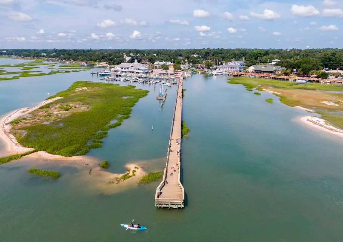
Generally, marshes being overwhelmed by rising seas need room to creep inland, spreading across adjacent undeveloped land and converting it to tidal savannas. That movement already is occurring a few miles away in a marsh at North Inlet, a USC research area.
But at Murrells Inlet there’s little undeveloped property for the marsh to advance on, other than a slice near Huntington Beach State Park.
So as the ocean swells and outpaces the marsh’s ability to keep up, bulkheads and developed property will block the rising water, causing some or all of the marsh grasses that sustain marine life and provide scenery to drown, scientists say.
NOAA’s sea level rise viewer, which shows how oceans will affect the U.S. mainland, indicates noticeable marsh loss at Murrells Inlet by 2060 and substantial losses by 2100 under a moderate four-foot sea level rise scenario.
Vanishing marshes

This graphic uses NOAA images of the Southeastern coast to show how sea level rise will impact salt marsh systems. The larger image will show the marsh system, in magenta, gradually being submerged under water as the sea level rises nearly four feet by 2100.
Savannah

Wilmington

Outer Banks

The potential destruction of the salt marsh raises an obvious question: How can the tidelands at Murrells Inlet be saved?
It will be a challenge. Sea level rise will be virtually impossible to stop in the near future because industrialization has pumped so much carbon into the atmosphere, raising earth temperatures and causing sea levels to swell.
The expected rise in sea level could be slowed, some scientists say, if world leaders take aggressive action to curb carbon pollution.
In the meantime, engineering projects like one underway at Jekyll Island, Georgia, could be used.
Scientists there have pumped mud onto a healthy marsh to raise the elevation, an experimental effort to see if the marsh can fend off rising seas.
Marshes have historically withstood fluctuations in sea levels by trapping sediment that raises the height of the soggy ground. A key question in Georgia is whether the marsh grasses and animal life will return after the artificial buildup — and whether the same technique can be applied elsewhere on the South Atlantic coast.
Another potential response is developing “living shorelines,’’ which include putting oyster shells on marsh banks to fight erosion.
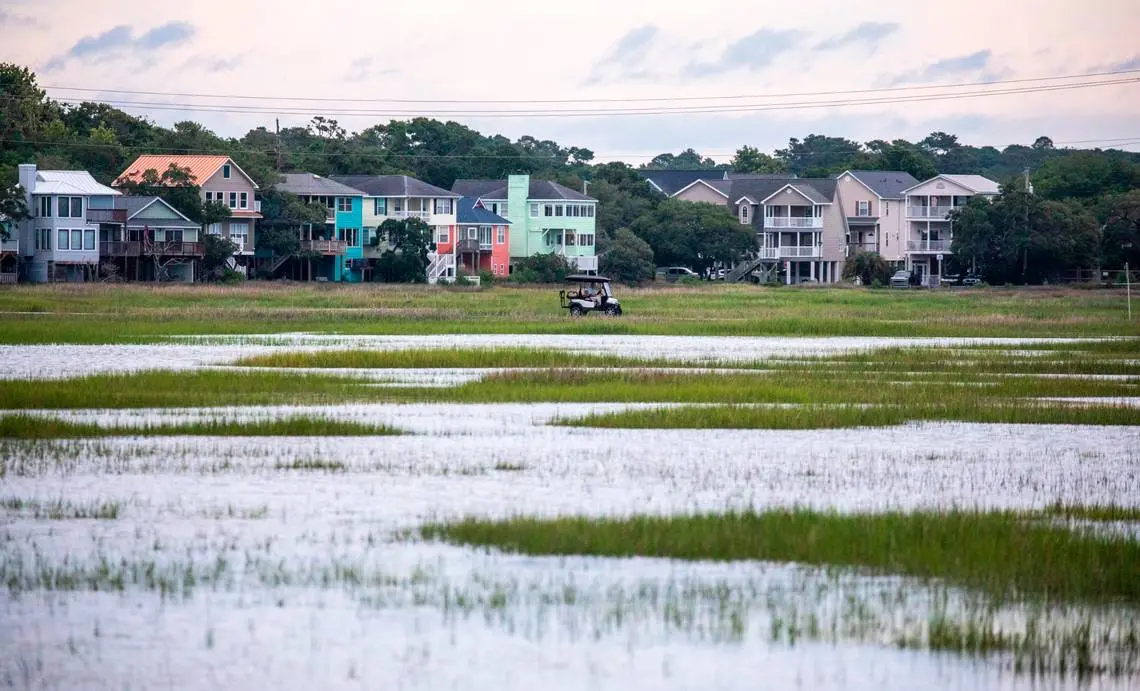
The view of wildlife from Murrells Inlet
Kamal Raj, a Washington, D.C. area resident who visited Murrells Inlet in August, said he doesn’t know much about the threat of sea level rise on the marsh, but he’d hate for it to degrade the wetland.
The expansive marsh system, with its bright green grasses and abundance of wading birds, makes for a special experience, Raj said as he looked at the inlet from Morse Park near the popular Hot Fish Club restaurant.
“This is unique,’’ Raj, 47, said. “It’s different at home, not like this.’’
If the marsh grasses drowned , “it wouldn’t be the same,’’ he said. “It would be like any other water body.’’
Salt marshes typically exist between barrier island beaches and the mainland. In the Southeast, their survival depends on spartina grass, the predominant plant species, to trap sediment from rivers, creeks and the ocean, which adds layers of mud to the marsh bottom.
Briny marsh systems like the one at Murrells Inlet provide places for small fish, crabs and other sea creatures to hide and feed as they mature into marine life people catch for sport and for seafood.
According to a 2016 U.S. Army of Corps of Engineers study on dredging at Murrells Inlet, 98 percent of spot fish — a marsh species popular with recreational anglers — are caught in the vicinity of Murrells Inlet.
Nearly one-third of the flounder caught in South Carolina come from the area, as do more than 20 percent of the snapper caught in the state, the Corps study said, citing data from a 2013 economic study by researchers at Coastal Carolina University.
Like other areas of the coast, the marsh at Murrells Inlet also buffers the mainland from hurricane-driven surges of sea water.
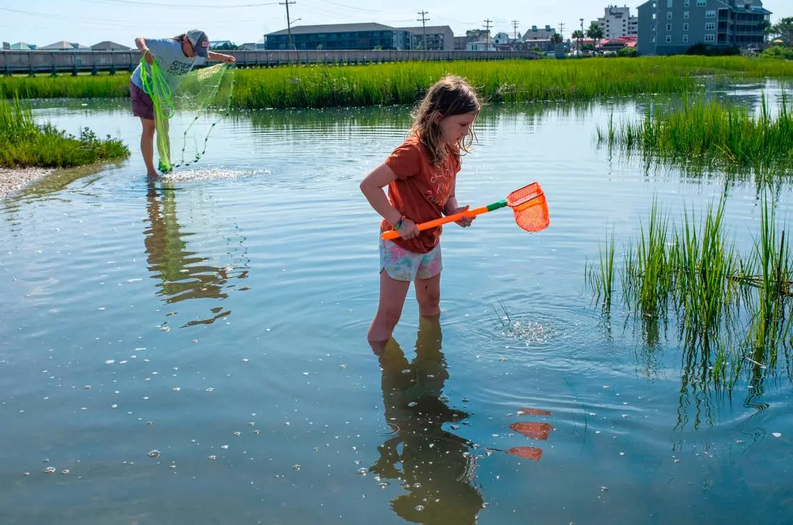
Coastal wetlands, which include salt marshes like the one at Murrells Inlet, provide billions of dollars in property damage protection from hurricanes each year, researchers have concluded.
Known as the “Seafood Capital of South Carolina,’’ Murrells Inlet features rows of restaurants along the marsh and just across U.S. 17 Business.
In a good year, seafood houses near the marsh can generate more than $40 million in restaurant sales, a 2013 report from Coastal Carolina University said. Overall, the economic value of the salt marsh is more than $720 million, the report found.
The economic impact “can be attributed to the draw of the marsh,’’ the Coastal Carolina study said.
Development was slow at first
Some of the development that makes the Murrells Inlet marsh so vulnerable to sea-level rise occurred gradually, before states began regulating construction in wetlands decades ago. But the drumbeat of growth hasn’t stopped.
From 1996 to 2016, developed areas within a half-mile of the Murrells Inlet marsh increased by 14 percent, according to statistics from NOAA. And within 300 feet of the marsh, developed areas increased by 21 percent during the same time period, NOAA’s data show.
Neither of those growth rates exceeds the rate of growth along marshes overall, but they provide insight into how development has continued to occur along with a marsh system with a long history of development.
In Murrells Inlet, state regulators have granted more than 400 permits for construction of and repairs to docks, bulkheads and other structures in the salt marsh and tidal areas since 1990, records show. Seventy percent of the permits to build in saltwater areas of Georgetown County, where most of Murrells Inlet is located, have been in tidelands since 1990, McClatchy found in analyzing state permit data.
In recent decades, marshes have gained a reputation as being safer to develop than ocean beaches, which are exposed directly to waves, coastal regulators acknowledge.
The ease at which landowners can get federal flood insurance has been a factor since the late 1960s in encouraging development at Murrells Inlet, as it has in other coastal communities.
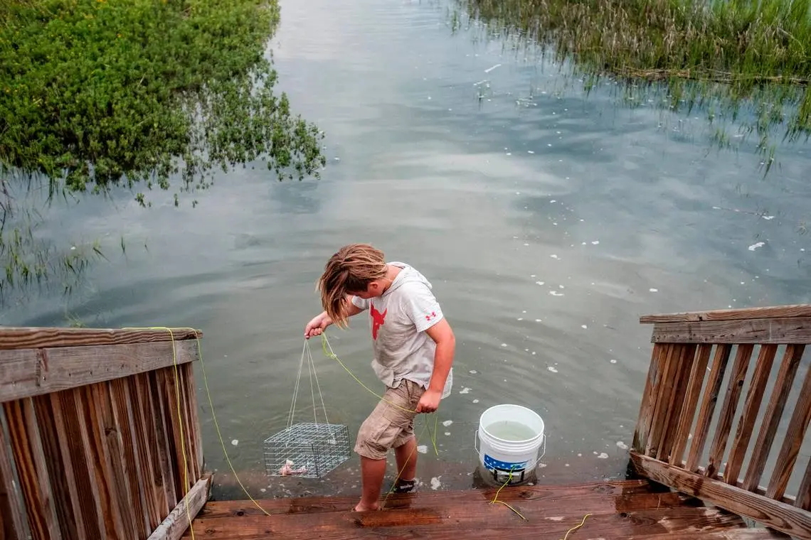
Statewide in South Carolina, officials have approved more than 17,000 permits for docks, piers and other structures in tidal areas — salt marshes and estuaries — within the state’s jurisdiction since the early 1990s, according to records obtained by McClatchy from the S.C. Department of Health and Environmental Control.
All told, the state has issued more than 21,000 permits since the early 1990s, meaning most of the approvals have been in tidal areas, as opposed to beaches, DHEC data show.
Regardless of the reason for the development, Murrells Inlet has plenty of it — and USC scientist Smith said that’s not going anywhere.
“Nobody wants to give up their property,’’ he said.
South Carolina’s coastal development
That’s not surprising given development patterns on South Carolina’s upper coast.
The crescent that forms that section of coastline has been intensely developed, from just south of the North Carolina state line to Murrells Inlet and Pawleys Island. Much of the area, known as the Grand Strand, is packed with hotels, second-home communities, miniature golf courses, strip shopping centers and restaurants.
Murrells Inlet is the first spot on the northern South Carolina coast where marshes of any size begin to emerge. These are the verdant marshes that dominate many communities from Murrells Inlet to north Florida. At some 350,000 acres of salt marsh, South Carolina has some of the highest acreages of the marine wetlands in the eastern United States.
The community of Murrells Inlet, where the marsh covers approximately 3,000 acres between Surfside Beach and Huntington Beach State Park, developed after World War II into a village dominated by seafood restaurants.
For years, vacationers to Myrtle Beach drove the 13 miles to Murrells Inlet on warm summer evenings for seafood suppers at places like Lee’s Inlet Kitchen, a now 73-year-old eatery that is one of the oldest restaurants along the inlet’s main strip, U.S. 17 Business.
But many of those visitors were Carolinas residents who rented beach houses or hotel rooms in the area. Following Hurricane Hazel in the 1950s, tourism began to take off in Myrtle Beach, as locals rebuilt from the powerful storm. More visitors from across the country began to vacation on the Grand Strand.
Today, the Grand Strand is an international resort that attracts an estimated 19 million vacationers each year. Since 2004, the number of tourists visiting the Myrtle Beach area annually has grown by about 6 million, according to the Myrtle Beach area Chamber of Commerce.
Murrells Inlet is home to about 10,000 year-round residents, roughly three times the number who lived there fifty years ago.
How salt marshes survive
When salt marshes are threatened by sea level rise, they have two survival strategies.
One is by increasing their elevation by trapping sediment or using below-ground biomass.
Another way is to move upland as sea level rises and salt water moves inland. The problem comes when bulkheads and other hard surfaces get in the way.
Across the marsh from the Murrells Inlet community lies Garden City, a thin but intensely developed peninsula where homes and businesses line the ocean. The backside of Garden City is on the marsh, and it is just as developed as the beachfront.
A recent look at the upper end of the marsh at Garden City and adjacent Surfside Beach revealed tightly packed homes, protected by wooden bulkheads. At the other end of Garden City, near the mouth of the inlet as it opens to the sea, a multi-story home was under construction on the marsh, adding to the row of houses there.
“They have built a house on every square inch and they are continuing to do so,’’ said Kelly Lee Dorman, whose grandparents started Lee’s Inlet Kitchen in the 1940s.
Dorman and Leon Rice, a community leader whose family has owned a creek house on the tideland for about 100 years, said they are noticing higher water in the community from tides that flow into the inlet. Sometimes, those high tides cover Atlantic Avenue, a narrow street in the marsh that connects the mainland to the beach at Garden City.
“These naysayers who say it is not rising better watch out,’’ Rice said of swelling seas. “You can call it global warming, or whatever you want to call it, but the tides are higher now than they used to be.’’
Room for endangered marshes to move
Murrells Inlet provides a stark contrast to another marsh, just down the road in Georgetown County: North Inlet.
Unlike Murrells Inlet, the North Inlet marsh is virtually untouched by development. And for that reason, it has far more room to move as sea levels rise.
That was evident as USC’s Smith walked through the North Inlet marsh this past May, surveying how rising seas are affecting the area. Smith encountered a small thicket of marsh grass that had begun to grow in the pine and hardwood forest.
One day, those trees will die and topple over as salty water spreads across the woody landscape, Smith said. Forested land will convert to an open savanna of grasses.
To illustrate his point, Smith later nodded at a tree trunk, lying in the middle of the North Inlet salt marsh. It’s an example of how the marsh reclaimed forested areas long ago, he said.
“We need more places where these marshes can move,’’ he said. “Without those places, we are going to lose critical habitat.’’
North Inlet has challenges from rising seas and some of the marsh could be converted to open water if the ocean rises too much.
Some marsh-monitoring devices that once stood in the tidelands now lie in open water, said Jim Morris, a Baruch scientist considered one of South Carolina’s foremost authorities on salt marshes.
A key question with all marshes is whether their natural ability to trap sediment and grow higher can keep pace with sea-level rise.
But undeveloped marshes have a fighting chance for survival because they have room to move if sea level rise outpaces the ability of marshes to accrete, or build up, experts say.
At Murrells Inlet, it’s possible that rising seas could push the salt marsh south into the forest at Huntington Beach State Park, but the marshes now most visible from the community’s row of restaurants would diminish or disappear altogether.
The climate change issue
The threat of sea-level rise at Murrells Inlet wasn’t a topic of much conversation among some of the visitors and locals interviewed in August by The State newspaper.
Some were more aware that surrounding development is sending polluted runoff into the creek, lowering water quality and threatening to shut down shellfish beds. They didn’t have much to say about sea-level rise, except they’d like to know more.
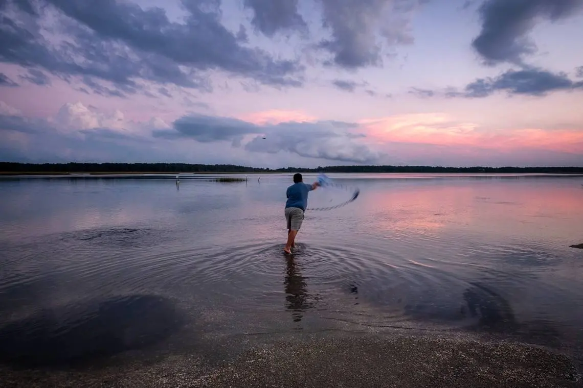
While visiting his father-in-law in Conway this past summer, Massachusetts resident Stephen Cabral heard about the Murrells Inlet marsh and drove over for an afternoon of fishing.
He spent part of the day near the bridge connecting the mainland to the Garden City peninsula. He hoped to catch fish that aren’t native to Massachusetts.
“This is what attracted me,’’ he said. “I fish up there in those areas and get blue crabs. I figure maybe I can have the same luck here.’’
Joshua Young, a native of southern New Jersey who relocated south to Myrtle Beach with his family about 10 years ago, said the remaining undeveloped part of the inlet should be protected.
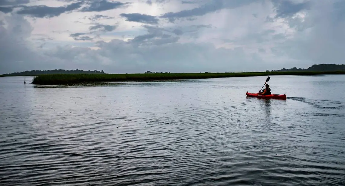
That area is a relatively hidden part of Huntington Beach State Park where state marine resources officials collect oyster shells. Many locals gather there to kayak and fish, without much disturbance.
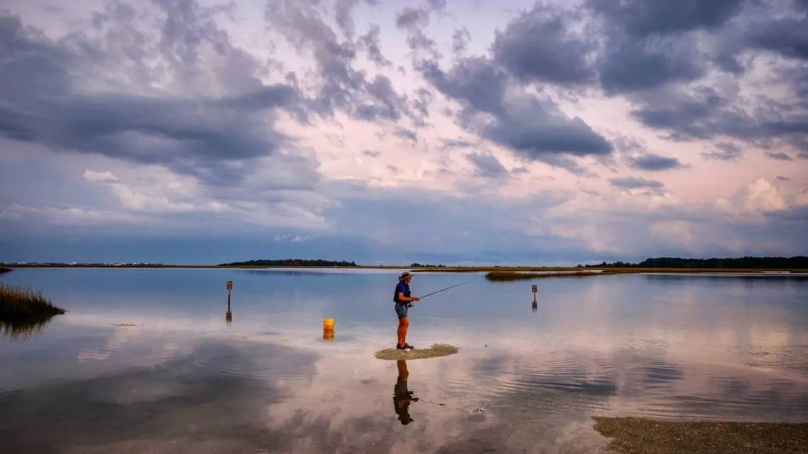
“It’s so serene here,’’ Young said as he stood on the flat marsh beach and watched family and friends kayak. “Just nice and quiet.’’
Young said he doesn’t think many people realize the threat to salt marshes from rising seas because, so far, it has been too gradual for many to notice.
“Salt marshes are not things they see changing before their eyes,’’ he said.


