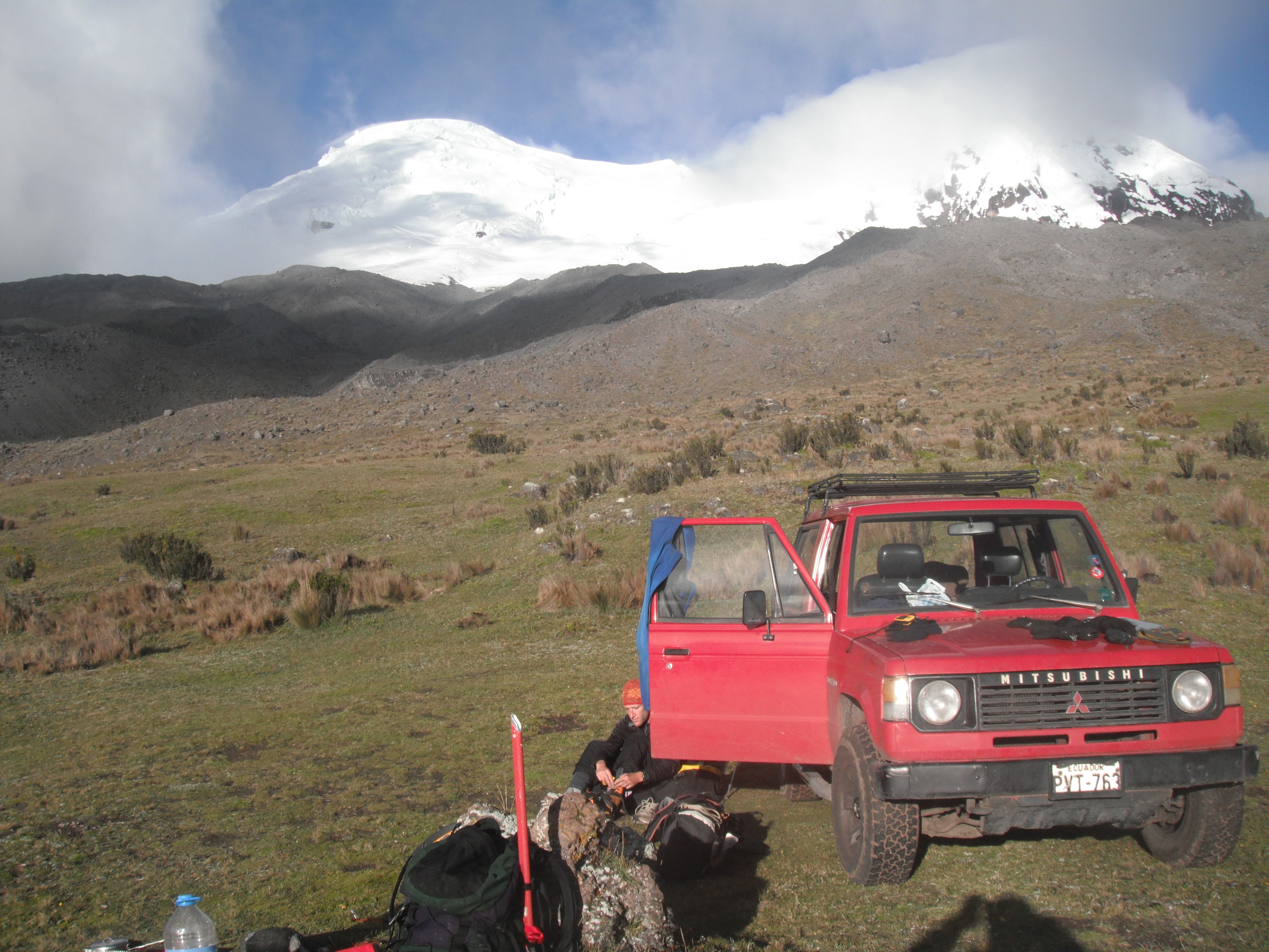
Even before we reach the main glacier on Antisana, Ecuador's fourth-highest mountain, something is very obviously wrong.
As we emerge over the crest of the moraine, at around 4,600 meters (15,090 feet), the gentle drizzle suddenly gives way to squalls that hurl the spitting rain into our faces and threaten to make our tour of the glacier a thoroughly miserable experience.
According to Ignacio Espinosa, one of Ecuador's top mountain guides, less than a decade ago it never rained above 4,500 meters. But now the line at which precipitation falls as snow has moved up to approximately 5,000 meters.
Ignacio sets a brisk pace and less than an hour later we are high on the glacier, roped up to reduce the danger of falling into a crevasse—ice axes in hand and crampons on our boots. As we turn and look down, we see an alpine lake surrounded by a vast rock field. The entire area–possibly as much as one square mile–was, Ignacio tells me, also covered by the glacier as recently as the year 2000.
The sight is breathtaking–and deeply disturbing. This is not the first time I have reported on the Andes' rapidly vanishing glaciers. But despite coming across some dramatic stories in Peru's Cordillera Blanca range, I have never seen anything quite on the scale of Antisana's vanishing glaciers.
It also starts me wondering how different the global political consensus on carbon emissions might be if climate change's greatest early impacts were so easily visible from, say downtown New York, Sydney or Paris, rather than only in remote, inhospitable places such as the poles and the High Andes.
As we descend back towards base camp, we bump into a couple of students from Ecuador's National Polytechnic University measuring the glacier's depth in an attempt to gauge the speed of its retreat. During the three days that Ignacio and I spend on Antisana's slopes, these students and two of their colleagues are the only other people we come across.
Antisana was once covered by the largest ice cap in Ecuador. But 40 percent of that cover has already been lost; meanwhile the remaining glacier's average thickness shrinks between 36 cm and 90 cm (14 to 35 inches) a year.
The loss is more than aesthetic. Antisana and the surrounding páramo—a delicate, high altitude, spongy grassland with an unusual capacity to absorb, store and gradually release water—provide Quito, a city of 2 million people, with roughly one-third of its water.
Compared to glaciers, the páramos are little studied. Othón Zevallos, head of EPMAPS, Quito's municipal water authority, later tells me that the páramos' as-yet-unknown response to the changing climate is one of his "greatest concerns."
Ignacio and I spend two successive mornings pottering around Antisana's glacier in the constantly-changing weather, examining the rushing streams cutting across its surface. I have never seen anything like this on a glacier before.
Bernard Francou, a Bolivia-based glaciologist with France's Development Research Institute, later tells me that the streams are not in themselves abnormal for Antisana, given the season and the mountain's location just a few miles south of the Equator. Nevertheless, the quantity and flow might be as they crisscross the glacier's soggy surface.
That evening we bed down at 7 p.m., ready to head up to Antisana's main peak (5,704 meters) at 1 a.m. That timing is standard practice in mountaineering, intended to allow wrapping up the summit and descent before midday, thus avoiding the looser snow and ice in the afternoon.
But around 10 p.m., the weather suddenly turns once again, and sleet and wind batter my tent. The climb is off; hypothermia is a real risk. More critically still, the storm makes the snow and ice too unstable and dangerous to safely cross. The summit was not strictly necessary for my story, but I had wanted to see the col just below it, an incongruous and rapidly growing zone of bare rock, according to Ignacio, at around 5,600 meters.
Ecuador's climbing weather is famously unpredictable. That is thanks, in part, to its peaks' proximity to the Amazon. And none is closer to the world's largest tropical rainforest than Antisana, which lies just 40 miles west of the jungle, giving it the dubious distinction of being one of the world's dampest mountains.
As we drive back to Quito the next day, in simultaneous drizzle and sunshine, a rainbow breaks out over the páramo, providing an unusual splash of color in this bleak, hauntingly beautiful landscape. What, I wonder, does climate change have in store for this fragile ecosystem and the millions of Ecuadorians who depend on it for their water?
Main Menu Navigation


