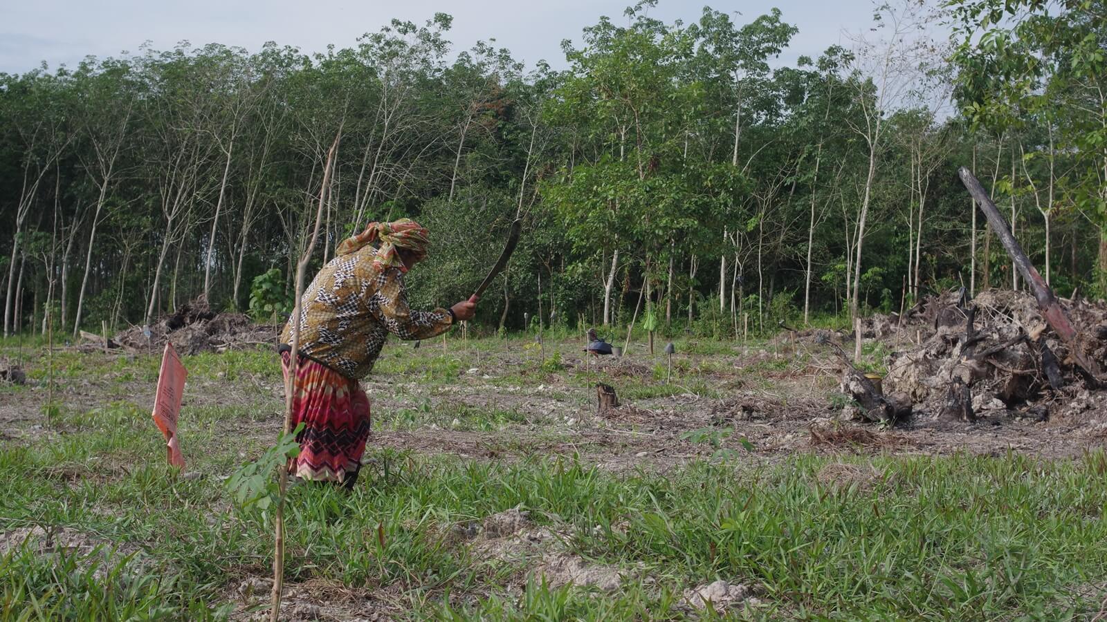
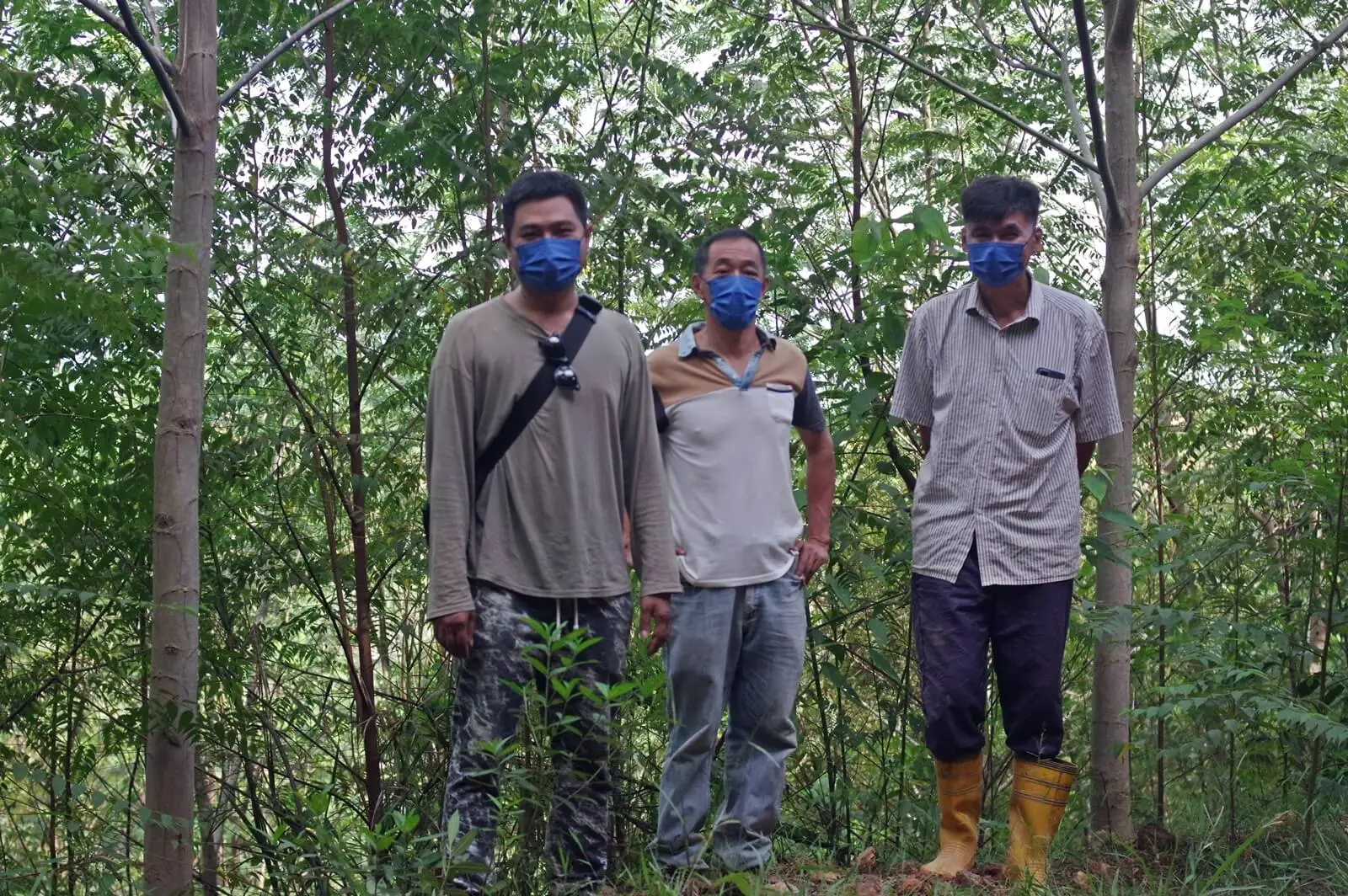
Yao-Hua Law investigates the apparent gap between Peninsular Malaysia’s officially reported forest area and the forest area measured by independent satellite analyses.
In Peninsular Malaysia, the size of total forest area is calculated based on registered land use, rather than what is physically on the land. As long as a site is registered as forest land, one could clear it all and not cause a dent in the official forest area tally.
Looking at satellite imagery, there are 500,000 ha of mature forest losses unaccounted for in the official tally for the years 2000-2019. This project answers the questions: Where did this difference occur? What became of the sites? And who was responsible?


