Story
![]() June 9, 2014
June 9, 2014
See the Devastated Landscape of the Alberta Tar Sands from 1,000 Feet Above
Country:


Alberta’s oil sands region is at the heart of the KeystoneXL pipeline controversy. A project built...

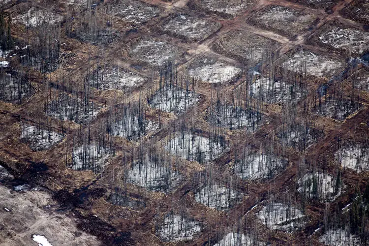
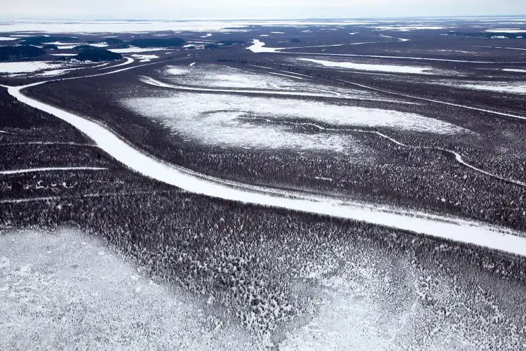
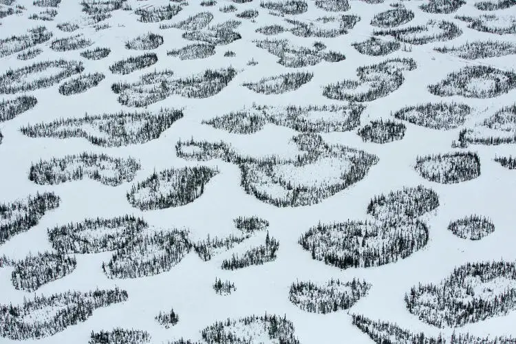
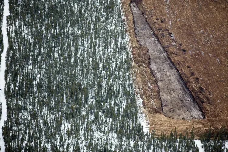
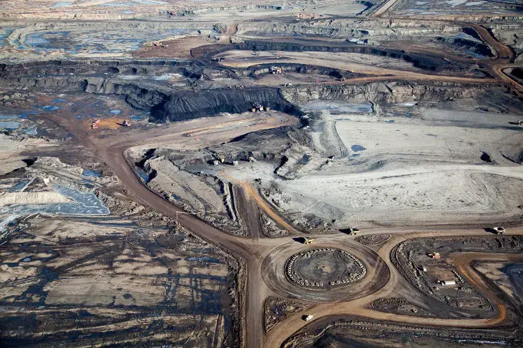


Driving down a certain stretch of a highway next to the tar sands in Alberta, Canada, you can't see the huge crude oil fields you're passing; a border of trees deliberately blocks the view. There's no glimpse of the scarred, murky land where forests once stood, even though the clear-cut area stretches as far as the horizon.
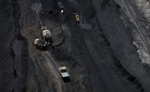
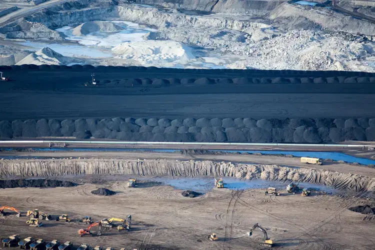
Even when you round a certain bend and see some of the view, it's hard to grasp the scale: This is a place where trucks are literally the size of houses, storage tanks are the size of football fields, and machines for processing the oil are the size of small office buildings. When the oil fields are fully developed, they'll cover an area the size of the state of Florida.
Photographer Alex MacLean visited Alberta this April to take a series of photos from the air, aiming to help educate the public on both the global and local impacts of tar sands development. The project was funded by the Pulitzer Center on Crisis Reporting. While environmental groups have made the tar sands more well known over the last few years thanks to the proposed Keystone XL pipeline, not everyone knows what the fields look like, especially from this perspective.
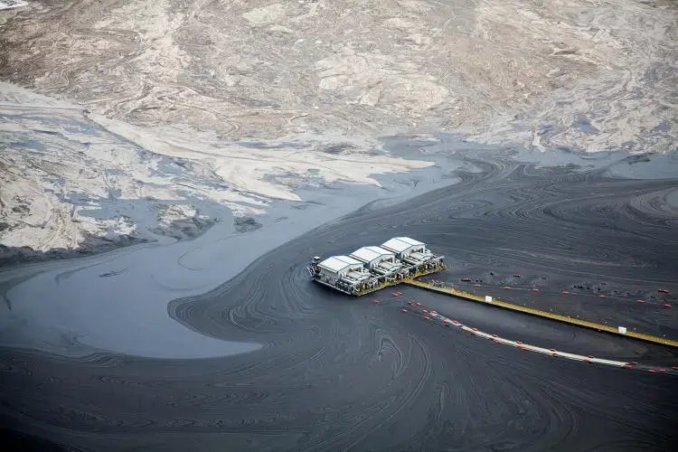
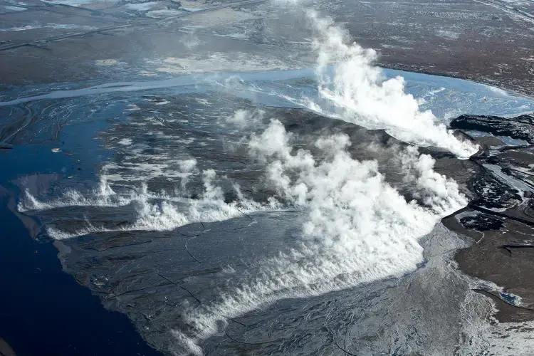
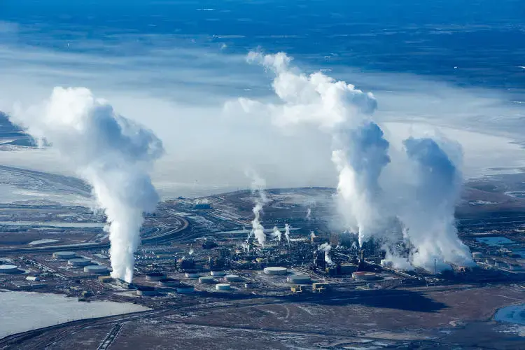
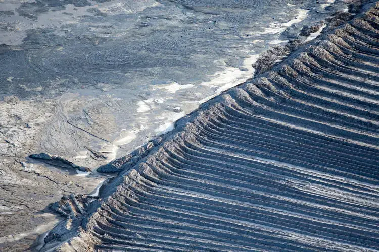
"From the aerial view, you can see it at scale," MacLean says. "We really had to get up off the ground to see how extensive it is and where it's happening. Hopefully the pictures, with captions, will expose why this fuel is so carbon intensive and how the extraction process is polluting both the water and air."
MacLean has been photographing the world from above for decades, beginning as an architecture student. "In graduate school I started learning to fly--I thought it was a good way to do site analysis and see architecture in context," he says. "But I was also interested in regional planning and connecting the dots at a larger scale."
Over the years, MacLean has photographed everything from farmland to the hidden outdoor spaces on the roofs of New York City. His work takes an environmental approach. In suburbs and cities, he looks at how density and land use make neighborhoods car-dependent or walkable. In strip mines, he's used aerial photography to show exactly how pollution is leaking into nearby rivers.
"I really hope to be able to show and explain some of these issues that might be harder to comprehend," he says. "If you have a visual image in your head, it can illustrate and frame a concept."
