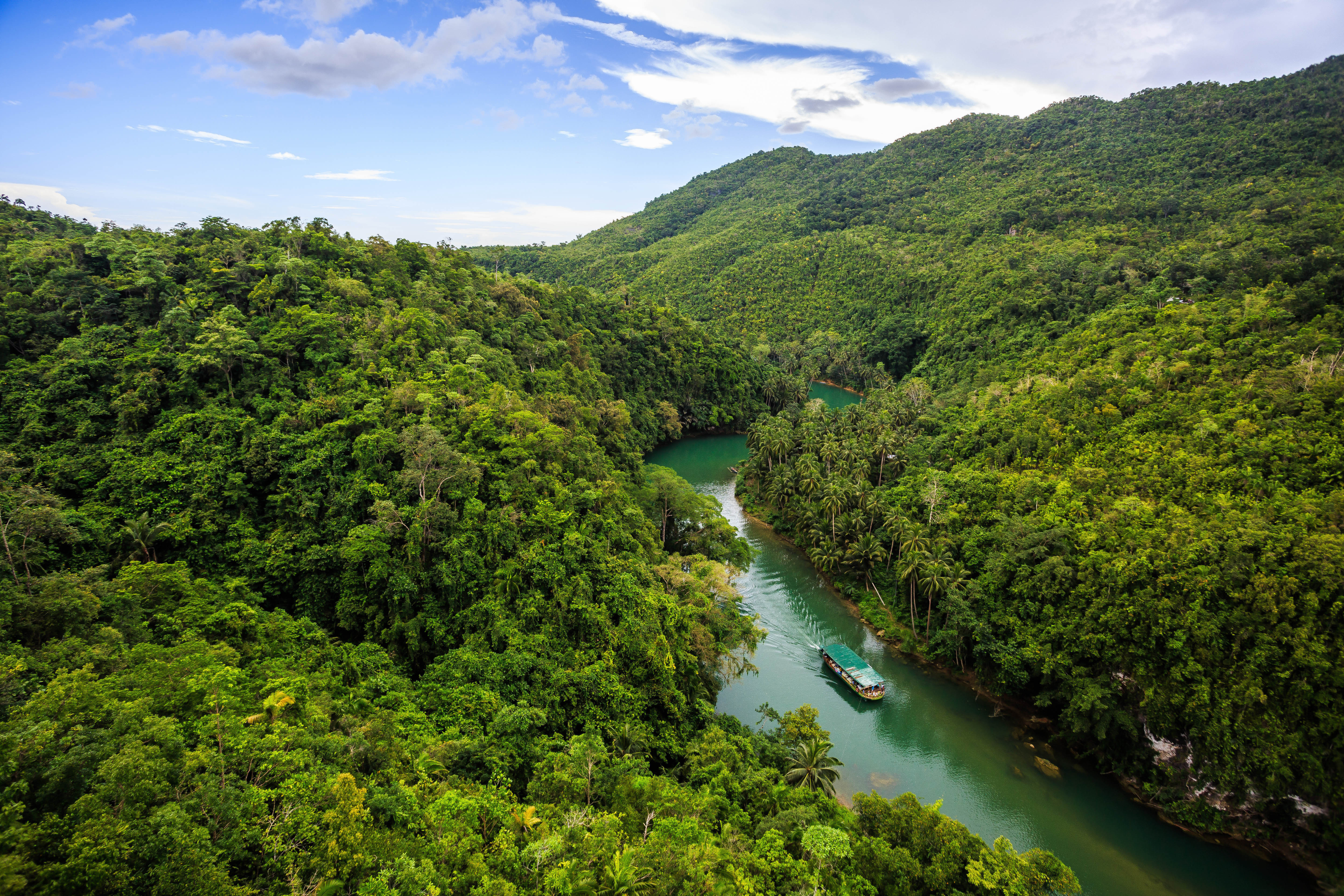
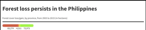
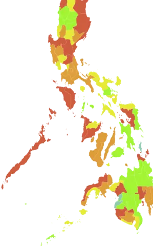
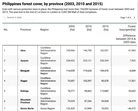
The country's total forest cover plateaued since the first Aquino administration, but geographical breakdown of the data shows a grim picture. Half of all provinces lost forest cover totaling more than 154,000 hectares in the past 12 years.
The Mimaropa region – covering Mindoro, Marinduque, Romblon and Palawan – has seen the worst deforestation in recent years. Caraga and the Cordillera regions offer hope.
Find out if your province lost or gained forest cover.
Source: National Mapping and Resource Information Authority (NAMRIA) • Notes: ▪ 2015 data are based on digitally classified Landsat 8 imageries with 30-meter resolution taken in 2014-2016 with ground validation. The datasets are projected in UTM Zone 51N except Palawan (Zone 50N), with PRS 92 horizontal datum. ▪ 2010 data are generated through the visual interpretation of images of the Philippines taken from various earth observation satellites. These are ALOS AVNIR-2, SPOT5 and Landsat. ▪ 2003 data are results of the joint undertaking of the FMB and NAMRIA using the 2001-2003 satellite imageries with 30-meter resolution. ▪ Details may not add up to total due to rounding. ▪ *Davao Occidental was created through Republic Act No. 10360 enacted on July 23, 2013. ▪ **Cotabato City is the regional center of BARMM. ▪ ***Not included in 2003 data.
Read more about this data and what scientists say about analyzing satellite surveys at www.pcij.org.