Story
![]() November 5, 2021
November 5, 2021
At a Crossroads: New Interactive Map Shows How Sea Level Rise Could Impact Socially Vulnerable Areas
Country:

Hampton Roads, Virginia, is going underwater. When will its people flee?
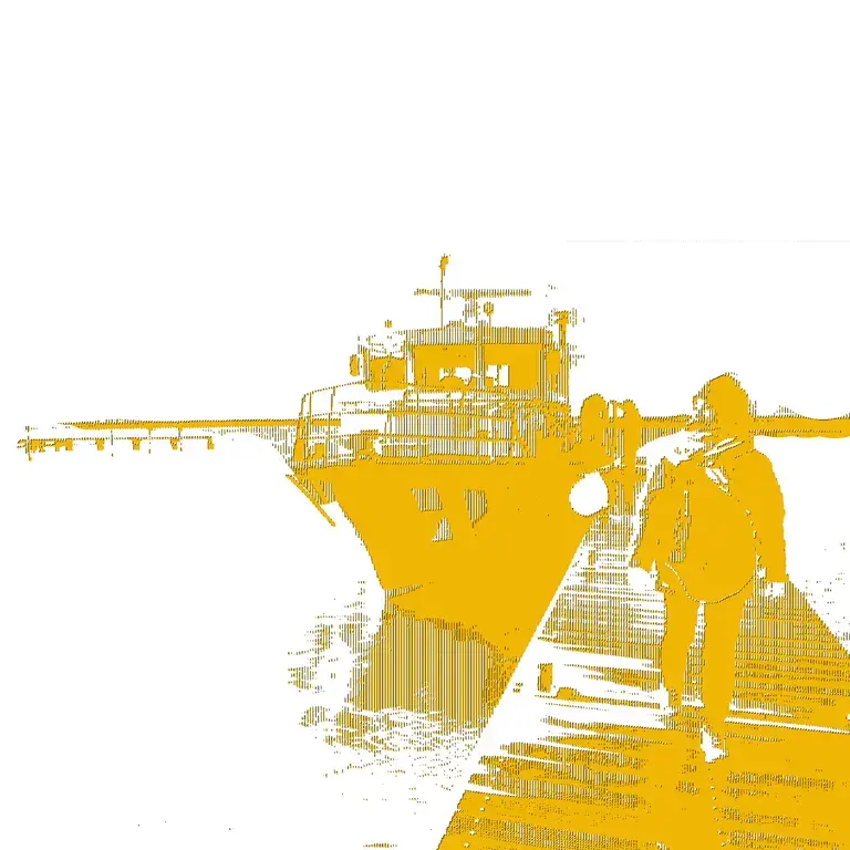
Bob Jarrell knows how bad it can get.
After 26 years in the Willoughby Spit neighborhood — a Norfolk, Virginia, peninsula flanked by water on all three sides — he’s seen hurricanes, bad rains and flooding that won’t abate.
“As time goes on, the more it floods, it backs up into our yards,” Jarrell, 68, said.
He’s just not sure how he might react — as tides rise higher and higher, he and his wife have considered retreating to the mountains of North Carolina. But he also loves the water, he said.

As a nonprofit journalism organization, we depend on your support to fund our nationwide Connected Coastlines climate reporting. Donate any amount today to become a Pulitzer Center Champion and receive exclusive benefits!
“We’re probably gonna be here until we die,” he said.
Jarrell’s neighborhood — and the challenges that come with it — is among those highlighted by a new map created by Old Dominion University, in partnership with WHRO Public Media, that depicts projected sea level rise and flooding around coastal Virginia over the next 60 years.
The map also shows areas that were once designated for Black people — redlined — and includes data from the Centers for Disease Control and Prevention about social vulnerability.
“Making a map like this, our intent is to provide clues,” said George McLeod, director of the Center for Geospatial Science, Education and Analytics at Old Dominion University. He created the map with Christopher Davis, a GIS analyst at ODU.
The redlining layer reflects areas that have historically been deprived of government investment and bank loans. The social vulnerability data accounts for socioeconomic variables like poverty rates and transportation and housing access.
“So by taking these flood data layers that predict where our community might flood in the future and then overlaying those data in a map with our socially vulnerable populations, we’re able to draw insight into the neighborhoods that might be most acutely impacted,” McLeod said.
Ideally, he said, the map will point government officials to socially vulnerable areas, indicating who might need the most help.
“So really that’s the intent here,” he said, “giving our leaders the opportunity to come in and make some adjustments and take action prior to those events recurring.”
The map was produced as part of “At A Crossroads,” a new WHRO series about coastal Virginia’s future with higher sea levels. The project is funded by the Pulitzer Center on Crisis Reporting as part of its Connected Coastlines reporting initiative.
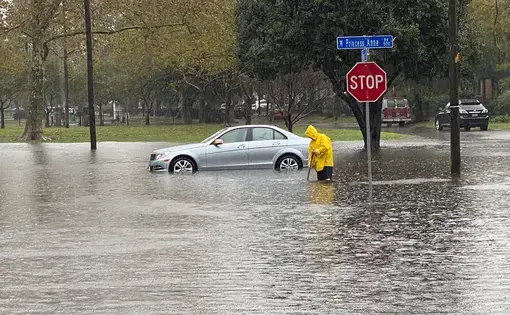
Southeast Virginia currently experiences the fastest rate of sea level rise on the Atlantic Coast. Water levels have gone up nearly 20 inches over the past century and could rise another 6.5 feet by 2100, according to the National Oceanic and Atmospheric Administration.
The new map shows hundreds of homes could go underwater over the next few decades.
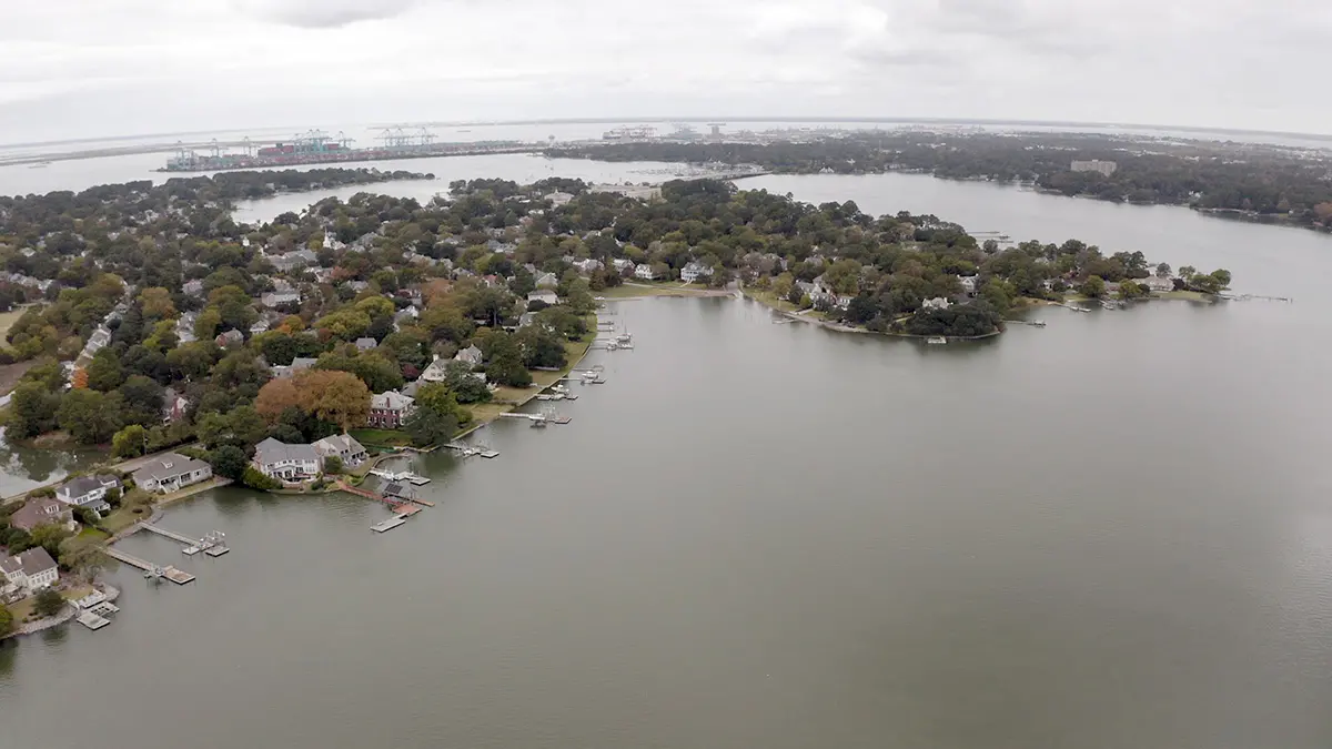
McLeod said people often think affluent oceanfront areas face the most risk. But the map shows socially vulnerable riverine neighborhoods also are threatened.
“So you have areas in Hampton, Newport News and Portsmouth that are not Atlantic Ocean-facing communities, that are not directly on the frontlines of a hurricane approaching a coastline, but they are some of the most critically vulnerable to the slow creep of sea level rise-induced flooding,” McLeod said.
Elizabeth Andrews, director of William & Mary’s Virginia Coastal Policy Center, added the map illustrates where policymakers have gone wrong — and how they might fix it.
“It’s increasingly clear that low-lying areas are often where we have pushed our low income communities over the past few years, as you can tell by redlining being so concurrent with flooding-impacted areas. That’s why we’ve looked at it,” she said.
In some cases, infrastructure improvements like higher seawalls and flood pumps could help defend against the rising seas. But that could be futile in the most at-risk neighborhoods, Andrews said.
She said a better option could be to relocate people into housing away from flood-prone areas — although that could be emotionally stressful and reduce the local tax base if people move inland to other cities.
Andrews also noted the housing market hasn’t caught up with the reality of flooding around the region. In an area as transient as Hampton Roads, many homeowners sometimes buy without knowing how bad flooding can become, she said.
“People are still able to buy and sell homes in flooding areas, can still get flood insurance, can still get mortgages. The fear is that at some point the market will catch up with the risk,” she said.
Bob Jarrell, the Willoughby Spit resident, is seeing that firsthand.
Elevated beachfront homes are still cropping up across the street from him, he said, and some potential buyers have offered to purchase his property with the intention of demolishing his house and building a new one. He described them as “poor investors.”
Andrews said there’s no “cookie-cutter” approach to addressing sea level rise and moving people out of harm’s way. But as the new ODU map demonstrates, some areas will go underwater by 2040, meaning there’s limited time to respond.
But it’s also worth remembering not every city or neighborhood is the same, or requires the same response to sea level rise, Andrews said.
“Every community is going to have to figure this out,” she said. “I think we need to pivot our conversation to envisioning our future.”
Journalist Kate Mishkin contributed to this report.