

Professional land grabbers are willing to invest a large amount of money to deforest huge areas and...
The Rainforest Investigations Network (RIN) asked its 2022 Fellows about the innovative methodologies behind their impactful stories.
Click here to read Fernanda Wenzel's story "Ladrões de Floresta," written in Portuguese on The Intercept Brasil.
Este artigo sobre metodologia também foi publicado em português. Leia-o aqui.
____________
When we started this investigation (first published on Intercept Brazil in Portuguese), we knew that the main driver of deforestation in the Amazon was the land grabbing of non-designated public lands, which belong to federal or state governments and haven't been converted yet into Indigenous Land or Protected Areas. But there were many blind spots: How does this land grabbing actually happen on the ground? Does it happen randomly or is it strategically planned? How much money does it make? To answer these questions, it was necessary to do dozens of interviews, analyze several court files, and dig into many databases and social media pages.
Hypothesis
Our hypothesis was that land grabbing is actually a very organized industry, which involves a lot of money and happens on a large scale.
Data sources
- Mapbiomas Alerta (publicly available)
A research collective that tracks land-use changes via satellite imagery and has used its platform to gather and validate rainforest destruction alerts since 2019.
- National Register of Public Forests (CNFP) (publicly available)
A register by Brazil's federal government of all the public forests, including the non-designated areas.
- CAR (Rural Environmental Register) from Pará (publicly available)
A self-declaratory document created as an environmental tool to track who is working on rural properties, but in the hands of land grabbers has become a legal guise to claim public land. To register a CAR, ranchers have to upload a polygon, which is data to find a location on a map, for each property.
- Sigef (publicly available)
This is the land register data system of Incra, Brazil's land agency. Like a CAR, on Sigef, the rancher registers a polygon for each property. It is also self-declaratory, so ranchers don't have to prove that they are the owners when registering.
Ibama is Brazil's environmental agency. It can issue fines against deforesters and also embargoes, which forbid a rancher from using the deforested land for a certain time period, so the forest can regenerate.
- Semas environmental fines (publicly available)
Semas is the environmental agency of Pará state.
- Court filings (publicly available)
We looked at filings from the federal courts and Pará state court.
- Satellite imagery
To check out the environmental damage on public lands, we used paid access to the online satellite imagery platform Planet (which also has free access through the NICFI program). High-resolution satellite imagery was obtained through a partnership with Earthrise Media.
- Animal Transit Guides (GTA) (not publicly available)
We got the GTA files through a partner. They are issued every time a rancher needs to move cattle from one farm to another or from a farm to a slaughterhouse.
- Social media
We mainly relied on Facebook to find out the profiles of the ranchers and land grabbers because it is still very popular in Brazil.
- Prodes (publicly available)
Brazil's official deforestation data that is produced by the National Institute for Space Research, INPE.
- Panjiva (a paid service)
This is an imports and exports database that collects customs data from all over the world and shows shipments’ contents, origin, destination, shipping company, and receiving company. It is a paid service, but we got the data through the Center for Climate Crime Analysis (CCCA).
- Company database CruzaGrafos (limited access)
This can be used only by members of Abraji, the Brazilian Association of Investigative Journalism. It is a system in which you can search for a person's name and see the companies in which this person is a partner. It also shows if there are Ibama environmental fines tied to that person or a company.
- Digesto (a paid service)
This is a paid court files database, with which we have a partnership. An alternative is JusBrasil, which is now free for Abraji members. Both are search engines in which you can look for court files using a person's name. It shows the number of the lawsuit and which court it is related to.
- Interviews by phone and in the field
Methodology
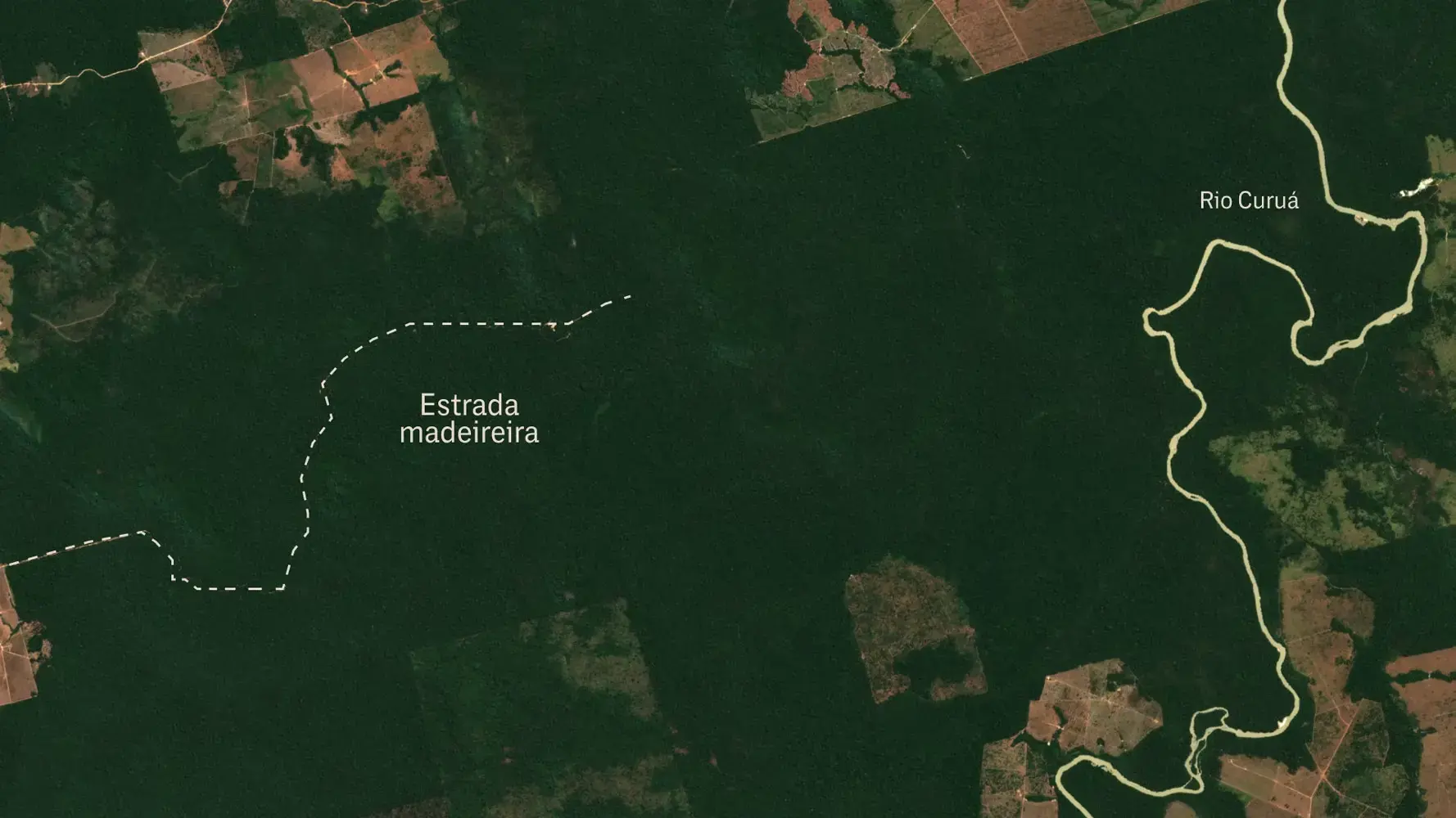
We used Mapbiomas Alerta to look for the largest deforestation registered in the Amazon and we found it: a 6,500-hectare deforestation in the South of Pará.
From the Mapbiomas Alerta website, we downloaded the polygon of the deforestation, then used open-source geospatial software QGIS to cross-reference it with CNFP (public land registry) polygons. Then we saw that this deforestation happened inside a non-designated public land, confirming our hypothesis that most professional land grabbing happens in these areas.
We decided to use this approach because we wanted to go after the professional land grabbers; the ones who have a lot of money. We knew the first thing a land grabber does is to clear the forest and that the cost to deforest 1,000 hectares was around US $200,000. So, if we wanted to go after the big guys, we needed big deforestation. That is why we started our research looking for the largest area in Mapbiomas Alerta.
What was unique in our approach is that we didn't want just to tell the story of the land grabbers, but of the land as well. The deforestation itself was one of our main characters, and we wanted to tell step by step of this clearance.
So our investigation took two different paths. On one side, we worked to find out who was behind this deforestation. We overlapped Pará’s CAR (rural land registry) polygons with the deforestation area, and found two CARs registered there, in the name of two men. We used both CAR and Sigef's (land registration) databases to look for other properties in their names or in the names of their family members.
Then we downloaded Prodes deforestation data and overlapped it with the other CARs and Sigef's properties, to check if they were also deforested. We used data from Ibama (the national environmental agency) and court files to check their history of environmental crimes. We used the company information website CruzaGrafos to see if they had companies on their names and used GTAs (files that show cattle transport) to see if they were cattle ranchers and for whom they sold these cattle.
We used social media to see what these guys look like, what kind of life they have, what kind of work they had, and how important they were in their communities. After putting all this evidence together on a spreadsheet, we had enough elements to say for sure that one of the guys who registered the land in his name on CAR was probably a proxy. But the other one was from a family of local landowners, who produce soy and cattle and have political influence on the local community.
The second path was to tell the story of this land. Earthrise Media used high-resolution satellite imagery to show each step of the deforestation, from selective logging to large-scale deforestation and the use of fire. Through a court file opened in Pará after Semas (the Pará state environmental agency) fined the land grabbers for this deforestation, we also found out what kind of machinery they used to cut the forest down (chainsaws and tractors). That is because the court file included a report made by Semas' employees once they got to the deforestation area, in which they described what they found on the site.
To locate this court file, we used the land grabber's name to look for court files in Digesto and then located the right file on Pará's court website. With that information, we asked a lawyer to get us the whole lawsuit court file. (In Brazil, this can only be done by lawyers, and only if the case is not under secrecy.)
Putting all these pieces together and talking with local sources, we could estimate how much money they spent on the deforestation (US $2.5 million) and how much money they would make if they sell the land after that (US $25 million).
Once we had a lot of evidence, we went into the field to capture the atmosphere of that region (a community whose economy is affected by land grabbing, deforestation and illegal mining), to take pictures and to talk with some local sources.
Back home, we called the people behind the land grabbing to hear their side.
Step-by-step reporting recipe
1. Mapbiomas Alerta: downloading the database in spreadsheet format, using Google Sheets (or Excel) to filter the largest one. Then go back to the site and download the shapefile of this largest one.


2. Overlapping the deforestation polygon with CNFP on QGIS.

3. Overlapping the deforestation with CARs on QGIS (then we get the individuals’ CPFs).

4. Looking for information about these guys on social media.
5. Looking for other CARs and Sigef on the name of the same guys or their family members and overlapping them with Prodes data on QGIS.

6. Looking for Ibama fines and court files on their CPFs.
7. Looking for companies with their names on CruzaGrafos.
8. Looking for GTAs on their CPFs.
9. Organizing all this information on a spreadsheet.

10. Looking for satellite imagery of each step of deforestation.
11. Looking for a court file about the deforestation to get more details about how it happened.

12. Talking with sources to estimate the cost/profit relation of the deforestation.
13. Going to the field.


14. Reaching the land grabbers to hear the other side.
15. Writing the story.
Limitations of the methodology, lessons learned, challenges and how you overcame them
Our limitation was that one of the men who registered the deforested land in his name was clearly a proxy. He didn't have any soy company or any cattle in his name, and through social media, we could see he was an employee of local ranchers, and not a rancher himself. But our investigation couldn't find out who was behind him. So we decided to file a complaint with the Federal Public Ministry in Pará, so they could go ahead with our investigation.
The main challenge was to construct the story of the characters and of the land having few local sources and not being able to talk with many people nor get too close to the area once we were on the field, due to safety concerns. What I did learn, however, is that the more you spend looking for evidence and then cross-referencing this evidence, the more bulletproof your story is. But don't forget: You have to organize this evidence very well, otherwise you will be buried by information.
I also learned that, at some point, you have to stop doing office work and put your feet on the ground. No matter how hard it can be, it will always bring you a much more realistic view of the story, which you will be able to share with your reader.
How this methodology can be replicated for other investigation purposes
I believe these information sources like CAR, Sigef, Ibama, court files, CruzaGrafos, and social media may be used as a first step assessment to investigate any land-related issue. They give you a quick view of who these people are and how much land they say they have. I will also certainly use satellite imagery again as a way of illustrating my stories.