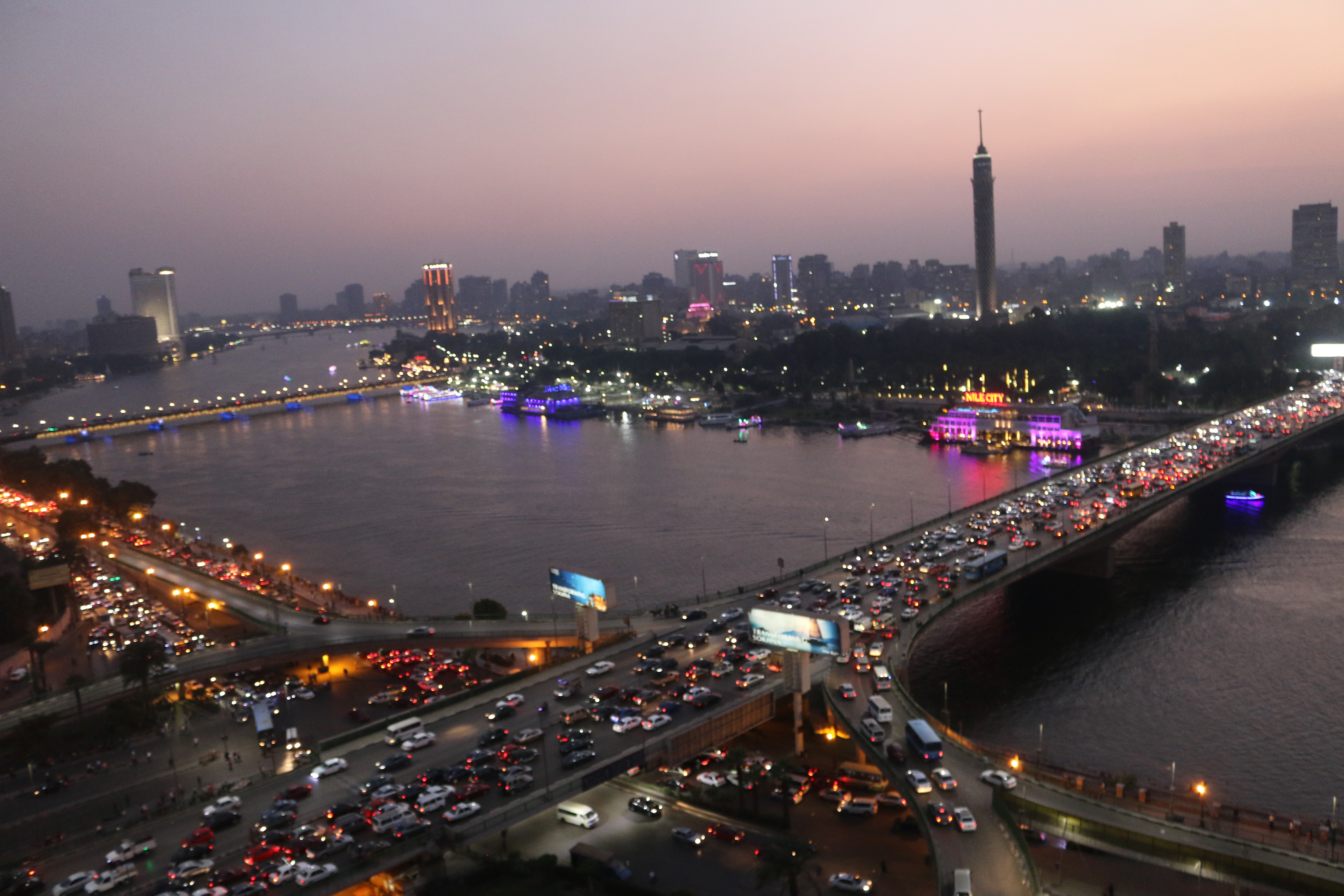
River Nile, the world’s longest river, stretches through 11 countries in Africa: Tanzania, Rwanda, Burundi, Uganda, DRC, Kenya, South Sudan, Sudan, Ethiopia, Eritrea, and Egypt. Over 257 million people live within the Nile Basin, depending on the river to support their livelihoods.
Water Journalists Africa maintains a network across the African continent of hundreds of journalists who report on issues of water and environment. These are important topics, but they are often under-covered by local media houses. Our geojournalism project InfoNile.org supports journalists across the 11 Nile River basin countries to report these critical stories. We had recently launched InfoNile when we came across a call for applications from journalists from the Pulitzer Center on Crisis Reporting to participate in a collaborative reporting project investigating land and property rights.
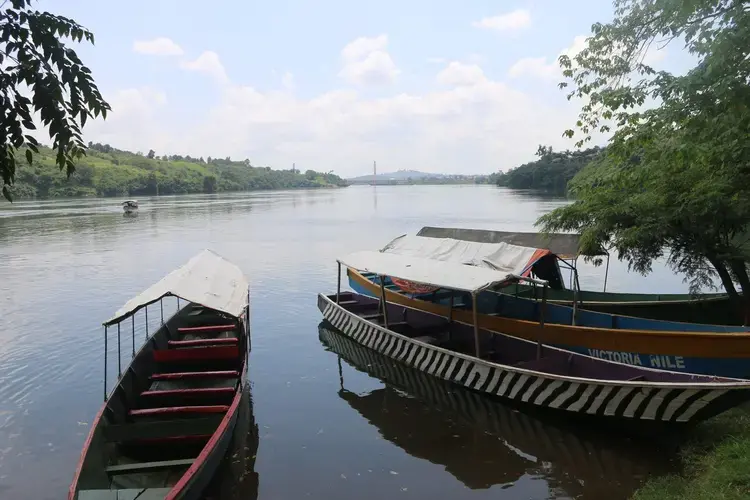
In the Nile River basin, water use and access are tied intrinsically with land issues. Arid, downstream countries such as Egypt depend on the river for agriculture, while the new Grand Ethiopian Renaissance Dam under construction in Ethiopia threatens to reduce its water availability and land resources. Other large-scale dams both up and downstream have displaced thousands of people, heightening land pressures.
And, as we discovered from analysis of data collected by the Land Matrix, a global independent land monitoring initiative, countries from all around the world are increasingly seeking a stake in the Nile’s fertile lands.
Shockingly, in the 11 countries, there were at least 445 acquisitions of land since 2000 with contracts totaling 16.9 million hectares of land, or 169,000 square kilometers, mostly for monoculture, according to our analysis.
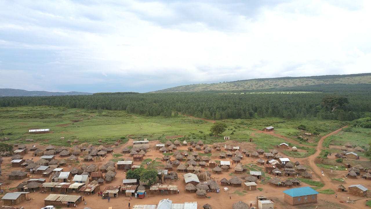
This was the beginning of a cross-border data journalism investigation focused on large-scale foreign land deals in the Nile River basin. The yearlong investigation involved over a dozen journalists, researchers, drone videographers and data wranglers. Basing on investigations coupled with land grabs location data generated by Land Matrix, we discovered that foreign investors are acquiring huge swaths of land in the Nile Basin, displacing communities and exporting profits.
With over 400 environmental journalists in the Nile River basin, InfoNile.org, a geo-journalism platform that combines interactive maps with local storytelling, facilitated journalists in the region to produce 12 stories, all focused on various “land grabs” in the region.
Results of a year-long cross-border data journalism investigation conducted jointly by @Mugira & @annikam93 of @infoNILE, reveal how foreign investors are acquiring large chunks of land along the River Nile Basin & impoverishing locals. https://t.co/v9XRlvv9cQ@pulitzercenter pic.twitter.com/f68Fo1f38J
— GIJN Africa (@gijnAfrica) January 31, 2020
From Egypt to Ethiopia, South Sudan to Uganda, Kenya and beyond, our team of experienced investigative journalists was able to carry out cross-border journalistic investigations generating in-depth multimedia story packages incorporating scientific research, data visualizations, video and photography on land use issues in their communities.
Working with InfoNile’s partners, Code For Africa, African Network of Centres for Investigative Reporting (ANCIR) and IHE Delft Partnership Programme for Water and Development, we were able to access and interview some of the world’s top land and water researchers and further created data visualizations and maps to go along with each of the stories reported by the journalists. The stories produced included:
- How Egypt’s water feeds the gulf; Mada Masr
- Rose: The flower impairing Blue Nile River and communities in Ethiopia; Zehabesha
- Uncertainty over laws fuel land grabs in South Sudan – Foreign investors acquired 2.5 million hectares of land since 2006; Juba Monitor
- Green Horizon food security project raises wellbeing of Jebel Ladu communities while growing crops to appease South Sudan’s hunger crisis; Juba Monitor
- Trapped in the Buffer Zone – Uganda forest communities cast aside in fight against climate change; New Vision
- Yala Swamp Saga: Broken promises, idle land; Science Africa
- Road River: The story of a river dried by illegal land acquisitions; Earth Journalism.net
- Land grabbing and its implications for Sudanese: views from a scholar; Water Journalists Africa
- Leading landless women – African rural women leaders tell their stories; Water Journalists Africa
- Beyond fueling land grabs: dams and reservoirs worsen water shortages; New Vision
- Land grabbing worsens climate change; New Vision
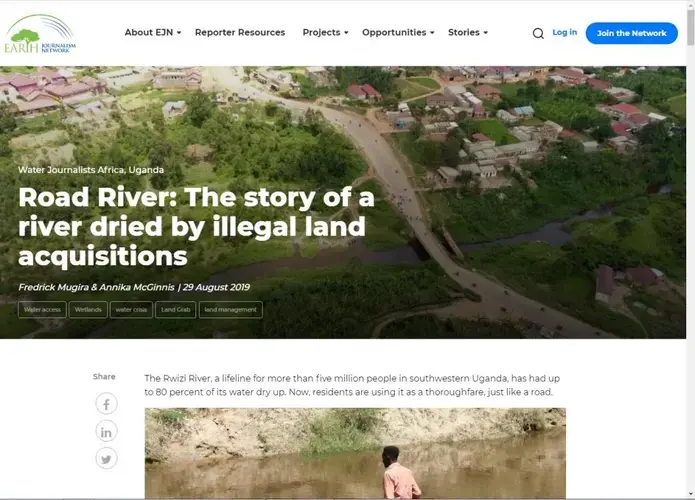
These stories were published on a national level by the journalists’ media houses. They were also translated into international languages (Arabic, Swahili and Amharic) by InfoNile coordinators and published on InfoNile.org. Several were also published by Uganda’s New Vision, Kenya’s Science Africa, and Water Journalists Africa. We promoted them on social media under the hashtag #NileGrabs.
Afterward, we created our final interactive multimedia project that we published on the Shorthand multimedia storytelling template incorporating content from all of the 12 stories as well as videos, photos, drone imagery and interactive data visualizations. In addition to InfoNile, national and regional media houses in Africa including New Vision, ScienceAfrica and Andariya have since published this project.
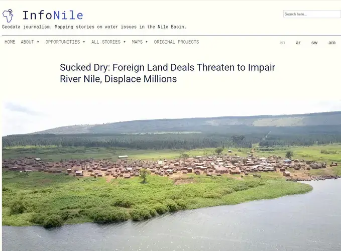
Again using data from Land Matrix, we were able to create an original data-driven map focused on foreign land grabs in the Nile basin currently published on the home page of InfoNile.org. Users can view country-level analysis as well as zoom in to see the land acquisitions in a particular area. All of the stories were also ‘mapped’ on top of this map.
Our team of experienced investigative journalists included Fredrick Mugira and Annika McGinnis in Uganda and DR Congo, Geoffrey Kamadi in Kenya, Nada Arafat and Saker El Nour in Egypt, Ayele Addis Ambelu in Ethiopia, and Paul Jimbo and David Monodanga in South Sudan.
“We did not only expose the effects of land grabs on communities, we also bridged gaps between Nile Basin scientists, researchers, journalists and the general public,” said Fredrick Mugira, Sucked Dry project co-leader and Director Water Journalists Africa.
“And in the end we increased mutual awareness and understanding of the various dimensions to land and water issues of this significant river basin,” further noted Fredrick.
The other critical component of this project was mentoring journalists in data journalism and supporting their media houses to gain skills in publishing interactive data visualizations.
Our team of data wranglers and visualizers included Tricia Govindasamy, Chrispine Odhiambo, Sakina Salem, Emma Kisa and Jacopo Ottaviani, their leader.
They all work with Code for Africa, the organisation that led on data visualizations and design of the final project. Piero Zagami, cofounder of Encode and a graphic designer based in London also designed the land grabs interactive map, which was developed by freelance web developer Paul Barton.
“Data on water security in the Nile Basin region, such as the Land Matrix, was a key resource to develop InfoNile’s transnational investigation. By combining data research, information design and digital cartography, the team had the chance to contextualize and explain such complex phenomenon to a larger audience,” Jacopo Ottaviani, head of data and design at CfAfrica and Pulitzer Center grantee.

Annika McGinnis, the InfoNile Director and co-leader of Sucked Dry project, said that this investigation is just the beginning of such cross-border projects involving InfoNile’s cross-border network of geo-journalists.
She said by the end of March 2020, InfoNile will have provided close to 100 journalism grants to journalists in the Nile basin to support them in various data-based multimedia storytelling projects, on topics including climate change solutions, wildlife trafficking and conservation, and biodiversity in Nile Basin lakes.
“We are proud of how journalists, researchers and data experts were able to contribute across borders to the Sucked Dry investigation – exposing these issues on a much larger scale,” Annika said. “We believe that these new forms of collaborative journalism have the potential to identify common trends across borders and also push for sharing of solutions.”


